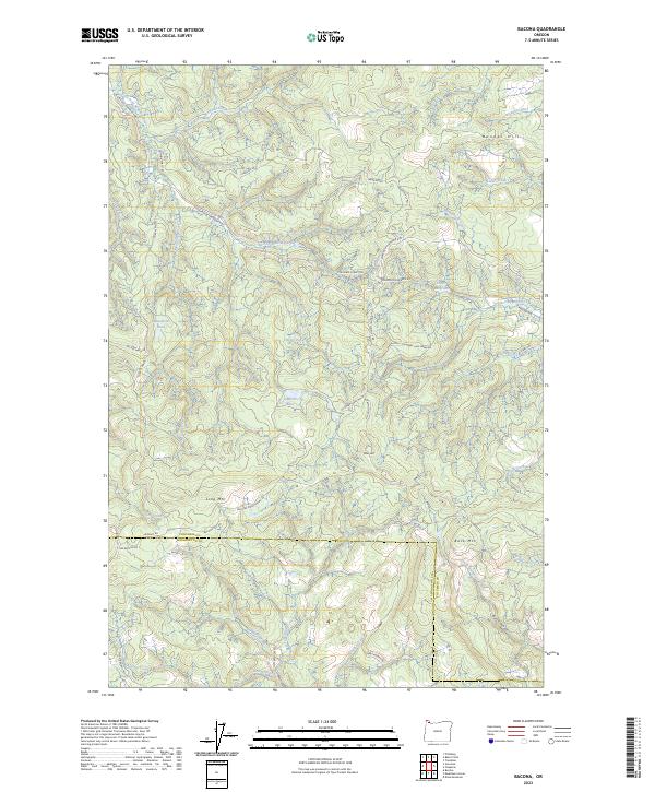
2023 Map of Bacona
USGS Topo · Published 2023About this map
Long Mtn and Bunker Hill dominate this forested section of the Northern Oregon Coast Range, where the headwaters of several key river systems originate. The East Fork Nehalem River winds through the northern half of the quadrangle, while the southern slopes descend toward Dutch Canyon and the South Scappoose Creek drainage. The landscape is defined by an extensive network of timber roads, including the Bacona CCC Rd and the Scappoose Vernonia Hwy, reflecting the area's long history of logging. Small upland water bodies such as Mansfield Pond, Floeter Pond, and the Gunners Lakes are scattered across the high ridges. Along the boundary of Columbia and Washington counties, the legacy of early 20th-century development is visible in the naming of the Pisgah Home Rd, which once served as a primary corridor for mountain settlements.
Find a feature on this map
56 named features on this map. Tap any name to fly to it.
Don’t see what you’re looking for? This feature index may not catch every label — zoom into the map to look around manually.
Map Details
Editions of this 2023 Bacona Map
This is the sole edition of this map. No revisions or reprints were ever made.
Other maps of this area

1915 · Hillsboro
USGS Topo · 1:62,500

1918 · Hillsboro
USGS Topo · 1:62,500

1922 · St. Helens
USGS Topo · 1:62,500

1940 · Hillsboro
USGS Topo · 1:62,500

1940 · Vernonia
USGS Topo · 1:62,500

1941 · St Helens
USGS Topo · 1:62,500

1941 · Gales Creek
USGS Topo · 1:62,500

1943 · Vernonia
USGS Topo · 1:62,500

1943 · St Helens
USGS Topo · 1:62,500

1948 · Vancouver
USGS Topo · 1:250,000