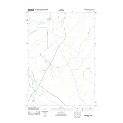
2012 Map of Badger Basin
USGS Topo · Published 2012About this map
Badger Basin occupies the center of this 2012 survey, revealing an intricate irrigation system in the high desert of Park County. The landscape is defined by the Clarks Fork Yellowstone River and an extensive network of man-made waterways, including the Interstate Ditch, Sirrine Ditch, and State or Badger Ditch. These ditches were critical for sustaining the ranching economy of northern Wyoming.
Find a feature on this map
25 named features on this map. Tap any name to fly to it.
Don’t see what you’re looking for? This feature index may not catch every label — zoom into the map to look around manually.
Map Details
Editions of this 2012 Badger Basin Map
This is the sole edition of this map. No revisions or reprints were ever made.
Other maps of this area

1944 · Red Lodge
USGS Topo · 1:62,500

1950 · Clark
USGS Topo · 1:62,500

1954 · Billings
USGS Topo · 1:250,000

1955 · Cody
USGS Topo · 1:250,000

1957 · Billings
USGS Topo · 1:250,000

1958 · Billings
USGS Topo · 1:250,000

1958 · Cody
USGS Topo · 1:250,000

1962 · Cody
USGS Topo · 1:250,000

1966 · Elk Basin SW
USGS Topo · 1:24,000

1966 · Elk Basin NW
USGS Topo · 1:24,000