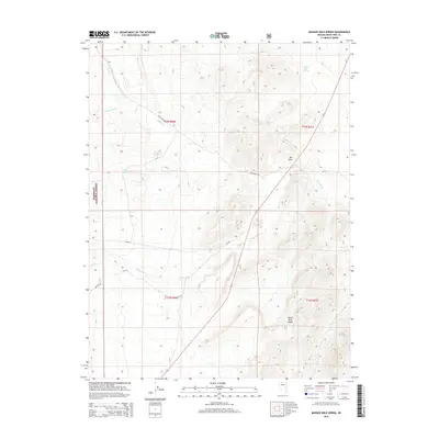
2014 Map of Badger Hole Spring
USGS Topo · Published 2014About this map
Badger Hole Spring and Warm Spring anchor this high-desert landscape in eastern Nevada, where water sources dictate the patterns of human and animal life. The western edge of the quadrangle is defined by the boundary of the Humboldt National Forest, marking a transition toward the elevated terrain of the White River Range. The drainage network is dominated by the White River, which is joined by tributaries such as Ellison Creek and Cottonwood Creek. A network of forest and county routes, including Long Valley Road and NF-405, provides access to this secluded area of White Pine County. The topography is characterized by distinct landforms like The Cove, where the land rises sharply away from the riparian corridors. This modern survey reflects the continued importance of these isolated springs and watercourses in an otherwise arid environment.
Find a feature on this map
18 named features on this map. Tap any name to fly to it.
Don’t see what you’re looking for? This feature index may not catch every label — zoom into the map to look around manually.
Map Details
Editions of this 2014 Badger Hole Spring Map
This is the sole edition of this map. No revisions or reprints were ever made.
Other maps of this area

1949 · Treasure Hill
USGS Topo · 1:62,500

1950 · Treasure Hill
USGS Topo · 1:62,500

1956 · Lund
USGS Topo · 1:250,000

1956 · Ely
USGS Topo · 1:250,000

1957 · Currant Mtn
USGS Topo · 1:62,500

1959 · Ely
USGS Topo · 1:250,000

1959 · Preston Reservoir
USGS Topo · 1:62,500

1960 · Lund
USGS Topo · 1:250,000

1963 · Ely
USGS Topo · 1:250,000

1964 · Currant Mtn
USGS Topo · 1:62,500