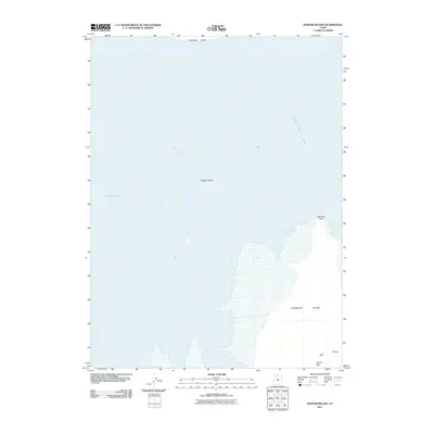
2011 Map of Badger Island
USGS Topo · Published 2011About this map
Great Salt Lake dominates this 2011 survey, illustrating the stark island geography and deep-water channels of Tooele County. The northern portion of Stansbury Island is a central focal point, featuring the prominent elevation of Adams Peak and the passage of Pass Canyon. These landforms rise sharply from the surrounding waters, separated from nearby Carrington Island by the navigable Fremont Strait. The map captures the shoreline during a period of modern hydrological management, showing the precise relationship between the mountainous island terrain and the expansive saline waters. For those studying the environmental history or geographical layout of the lake's central basin, this study provides a clear look at the isolated topography and designated nautical passages that have long defined the region's character.
Find a feature on this map
6 named features on this map. Tap any name to fly to it.
Don’t see what you’re looking for? This feature index may not catch every label — zoom into the map to look around manually.
Map Details
Editions of this 2011 Badger Island Map
This is the sole edition of this map. No revisions or reprints were ever made.
Other maps of this area

1885 · Tooele Valley
USGS Topo · 1:250,000

1953 · Tooele
USGS Topo · 1:250,000

1954 · Brigham City
USGS Topo · 1:250,000

1955 · Tooele
USGS Topo · 1:250,000

1958 · Brigham City
USGS Topo · 1:250,000

1962 · Brigham City
USGS Topo · 1:250,000

1968 · Plug Peak NW
USGS Topo · 1:24,000

1968 · Carrington Island SW
USGS Topo · 1:24,000

1968 · Fremont Island SW
USGS Topo · 1:24,000

1968 · Poverty Point
USGS Topo · 1:24,000