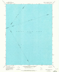
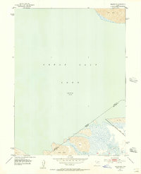
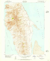
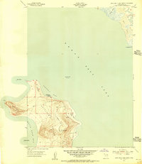
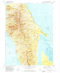
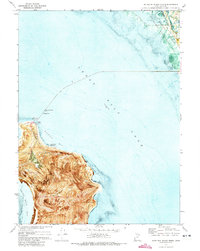
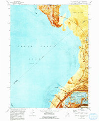
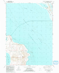
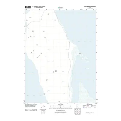
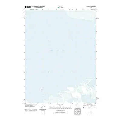
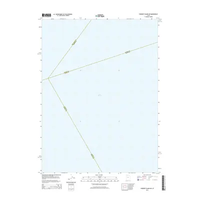
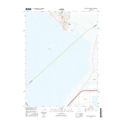
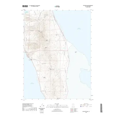
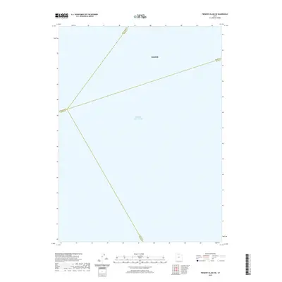
1968 Map of Fremont Island SW
USGS Topo · Published 1972About this map
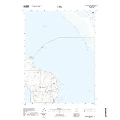
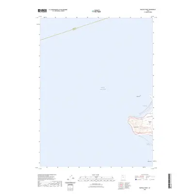
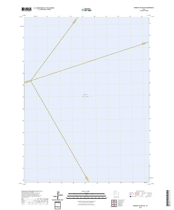
Great Salt Lake dominates this 1968 topographic survey, captured at an elevation of 4,193 feet as recorded just years prior to publication. The map is primarily a hydrographic study of the lake's open waters, utilizing soundings compiled from the U.S. Naval Reserve and the U.S. Corps of Engineers. This specific quadrangle serves as a cartographic crossroads where four Utah counties intersect in the water. The survey traces the Box Elder and Weber County line, the Weber and Davis County line, and the convergence of the Box Elder and Tooele County and Tooele and Davis County boundaries. It provides a distinct look at the jurisdictional divisions of the lake during the late 1960s, a period when water levels and county limits were meticulously charted for navigation and mineral management.
Find a feature on this map
6 named features on this map. Tap any name to fly to it.
Don’t see what you’re looking for? This feature index may not catch every label — zoom into the map to look around manually.
Map Details
Editions of this 1968 Fremont Island SW Map
This is the sole edition of this map. No revisions or reprints were ever made.
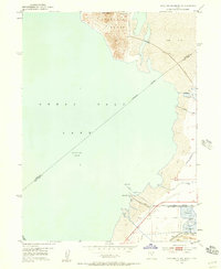
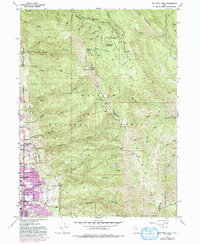
Historical Maps of Hooper Through Time
56 maps found
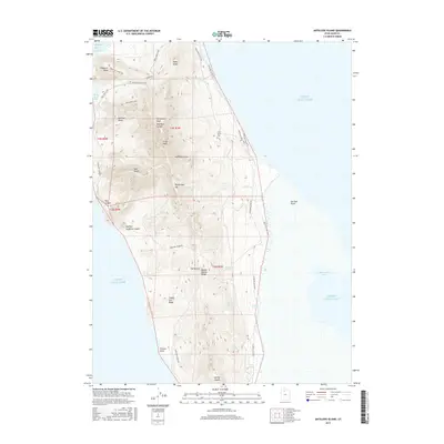
1952 Antelope Island South
Davis County, UT
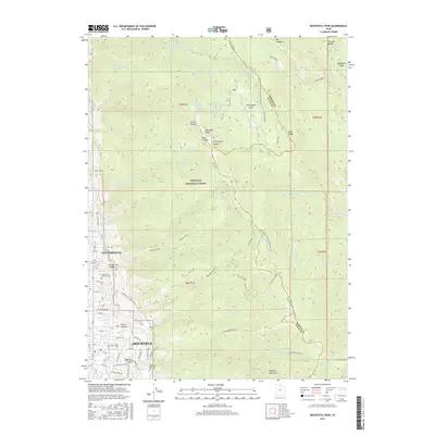
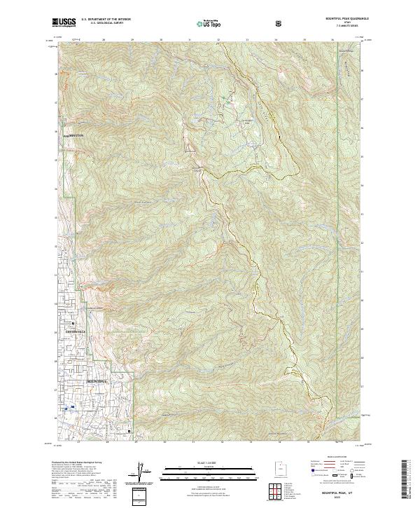
1952 Bountiful Peak
Davis County, UT
1952 Saltair NE
Davis County, UT
1954 Antelope Island
Davis County, UT
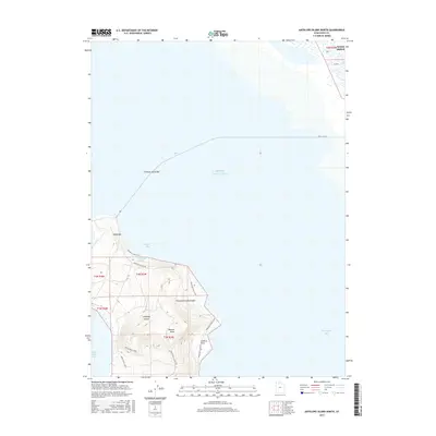
1954 Antelope Island North
Davis County, UT
1968 Fremont Island SW
Davis County, UT
1972 Antelope Island
Davis County, UT
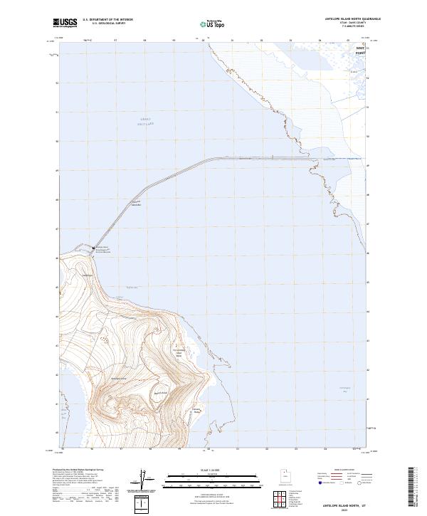
1972 Antelope Island North
Davis County, UT
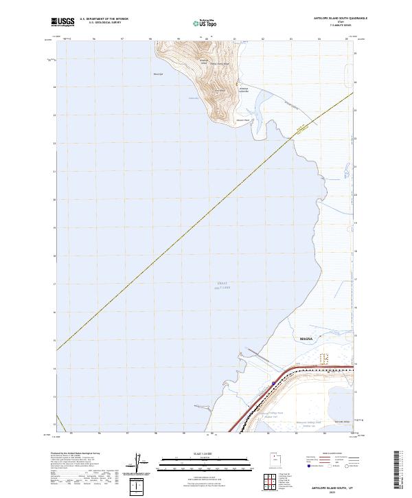
1972 Antelope Island South
Davis County, UT
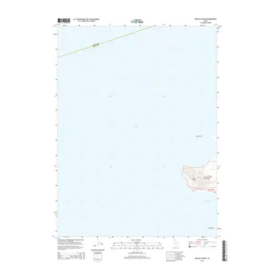
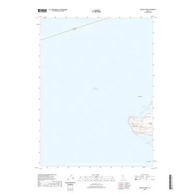
1972 Buffalo Point
Davis County, UT
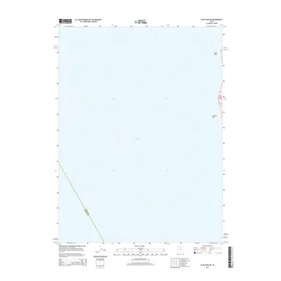
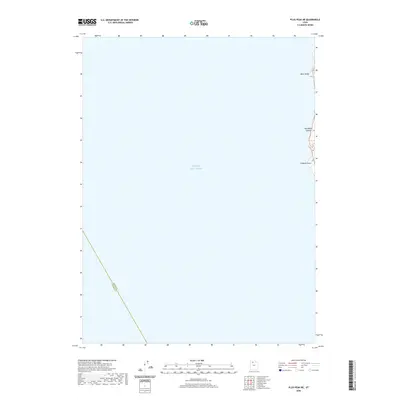
1972 Plug Peak NE
Davis County, UT
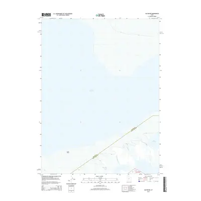
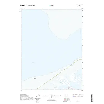
1972 Saltair NE
Davis County, UT
1991 Antelope Island North
Davis County, UT
1991 Buffalo Point
Davis County, UT
1991 Fremont Island SW
Davis County, UT
1997 Saltair NE
Davis County, UT
1998 Bountiful Peak
Davis County, UT
2011 Antelope Island
Davis County, UT
2011 Antelope Island North
Davis County, UT
2011 Antelope Island South
Davis County, UT

2011 Bountiful Peak
Davis County, UT

2011 Buffalo Point
Davis County, UT

2011 Plug Peak NE
Davis County, UT
2011 Saltair NE
Davis County, UT
2014 Antelope Island
Davis County, UT
2014 Antelope Island North
Davis County, UT
2014 Antelope Island South
Davis County, UT

2014 Bountiful Peak
Davis County, UT
2014 Buffalo Point
Davis County, UT
2014 Fremont Island SW
Davis County, UT
2014 Plug Peak NE
Davis County, UT
2014 Saltair NE
Davis County, UT
2017 Antelope Island
Davis County, UT
2017 Antelope Island North
Davis County, UT
2017 Antelope Island South
Davis County, UT
2017 Bountiful Peak
Davis County, UT
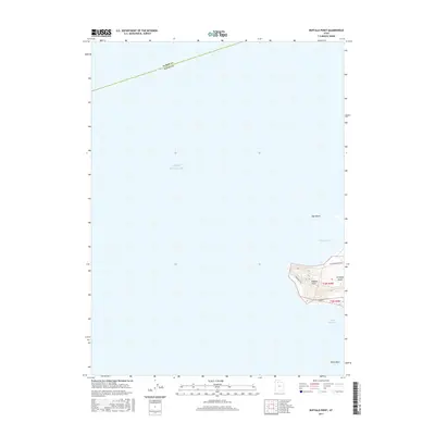
2017 Buffalo Point
Davis County, UT
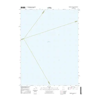
2017 Fremont Island SW
Davis County, UT
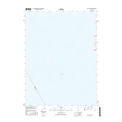
2017 Plug Peak NE
Davis County, UT
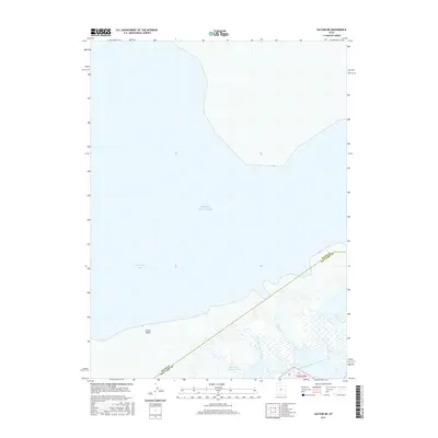
2017 Saltair NE
Davis County, UT
2020 Antelope Island
Davis County, UT
2020 Antelope Island North
Davis County, UT
2020 Antelope Island South
Davis County, UT
2020 Bountiful Peak
Davis County, UT
2020 Buffalo Point
Davis County, UT
2020 Fremont Island SW
Davis County, UT
2020 Plug Peak NE
Davis County, UT
2020 Saltair NE
Davis County, UT

2023 Antelope Island
Davis County, UT
2023 Antelope Island North
Davis County, UT
2023 Antelope Island South
Davis County, UT
2023 Bountiful Peak
Davis County, UT
2023 Buffalo Point
Davis County, UT
2023 Fremont Island SW
Davis County, UT
2023 Plug Peak NE
Davis County, UT
2023 Saltair NE
Davis County, UT