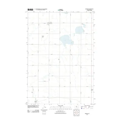
2012 Map of Badger
USGS Topo · Published 2012About this map
The town of Hetland and a series of glacial lakes define this section of Kingsbury County in the early 21st century. The landscape is organized by a precise grid of section-line roads, including 450th Ave and 203rd St, which navigate between significant water bodies like Lake Badger, Lake Thisted, and Lake Albert. For family historians, the sheet is exceptionally detailed in its placement of rural burial grounds, such as Nielsen Cem, Badger Cem, and United Cem, often located at lonely intersections far from the main settlements. Aviation footprints are visible through both the Arlington Municipal Airport in the southeast and the smaller Andersen Farms Airport to the northwest. In the northern part of the quadrangle, a small cluster of streets including N St E and So St W surrounds the local Po, indicating a center of community activity.
Find a feature on this map
34 named features on this map. Tap any name to fly to it.
Don’t see what you’re looking for? This feature index may not catch every label — zoom into the map to look around manually.
Map Details
Editions of this 2012 Badger Map
This is the sole edition of this map. No revisions or reprints were ever made.
Other maps of this area

1953 · Watertown
USGS Topo · 1:250,000

1958 · Watertown
USGS Topo · 1:250,000

1968 · Lake Sinai
USGS Topo · 1:24,000

1968 · Lake Preston East
USGS Topo · 1:24,000

1968 · Lake Preston NE
USGS Topo · 1:24,000

1968 · Arlington
USGS Topo · 1:24,000

1968 · Arlington NE
USGS Topo · 1:24,000

1968 · Badger
USGS Topo · 1:24,000

1969 · Lake Norden
USGS Topo · 1:24,000

1969 · Lake Poinsett
USGS Topo · 1:24,000