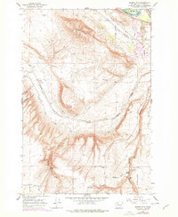
1965 Map of Badger Mtn
USGS Topo · Published 1978About this map
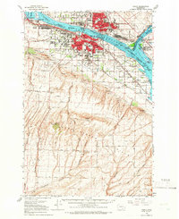
Richland sits at the northern edge of this mid-1960s survey, where the Yakima River and Columbia River converge. The landscape is defined by the heavy infrastructure of irrigation and transportation, featuring the Union Pacific and Burlington Northern railroads alongside the Kennewick Canal and Main Canal. The transition from the river valley to the heights of Badger Mountain reveals a network of canyons, including Badger Canyon and Coyote Canyon.
Find a feature on this map
50 named features on this map. Tap any name to fly to it.
Don’t see what you’re looking for? This feature index may not catch every label — zoom into the map to look around manually.
Map Details
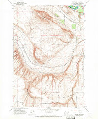
Editions of this 1965 Badger Mtn Map
2 editions found
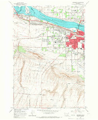
Other maps of this area

1917 · Pasco
USGS Topo · 1:125,000

1951 · Richland
USGS Topo · 1:62,500

1953 · Walla Walla
USGS Topo · 1:250,000

1958 · Walla Walla
USGS Topo · 1:250,000
1964 · Johnson Butte
USGS Topo · 1:24,000
1964 · Kennewick
USGS Topo · 1:24,000
1964 · Pasco
USGS Topo · 1:62,500
1965 · Prior Ranch
USGS Topo · 1:24,000

1965 · Eltopia
USGS Topo · 1:62,500
1965 · Weber Canyon
USGS Topo · 1:24,000