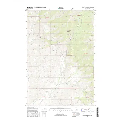
2017 Map of Badger Spring Gulch
USGS Topo · Published 2017About this map
Salmon National Forest defines the high-altitude landscape of this Lemhi County quadrangle, where a complex network of forest roads and pack trails navigates the steep terrain. The map centers on the drainage systems of Carmen Cr and Tower Cr, which have carved deep features like Davis Canyon and Badger Spring Gulch. These waterways serve as the primary conduits for local travel, with Carmen Creek Rd and Tower Creek Rd tracing their respective banks.
Find a feature on this map
29 named features on this map. Tap any name to fly to it.
Don’t see what you’re looking for? This feature index may not catch every label — zoom into the map to look around manually.
Map Details
Editions of this 2017 Badger Spring Gulch Map
This is the sole edition of this map. No revisions or reprints were ever made.
Other maps of this area

1950 · Salmon
USGS Topo · 1:62,500

1951 · Salmon
USGS Topo · 1:62,500

1955 · Dillon
USGS Topo · 1:250,000

1956 · Goldstone Mtn
USGS Topo · 1:62,500

1957 · Dillon
USGS Topo · 1:250,000

1958 · Dillon
USGS Topo · 1:250,000

1962 · Dillon
USGS Topo · 1:250,000

1965 · Dillon
USGS Topo · 1:250,000

1966 · Badger Spring Gulch
USGS Topo · 1:24,000

1966 · Shewag Lake
USGS Topo · 1:24,000