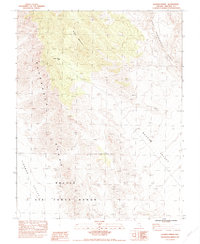
1983 Map of Badger Spring
USGS Topo · Published 1983About this map
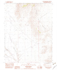
Nellis Air Force Range dominates the southern landscape of this 1980s-era study, reflecting the significant military presence in this corner of Lincoln County. The terrain is defined by the massive north-south spine of the Pahranagat Range, which separates the high desert floor of the Tikaboo Valley to the west from Badger Valley to the east. High points like Badger Mountain rise sharply from the valley floor, illustrating the basin and range geology typical of the region. Water remains a scarce and critical resource in this environment, noted by the presence of Badger Spring (Dry), which is marked as dry on this edition. The map captures a moment when the area remained largely undeveloped except for military boundary markers and primitive trails, serving as a baseline for the desert landscape before modern changes.
Find a feature on this map
7 named features on this map. Tap any name to fly to it.
Don’t see what you’re looking for? This feature index may not catch every label — zoom into the map to look around manually.
Map Details
Editions of this 1983 Badger Spring Map
This is the sole edition of this map. No revisions or reprints were ever made.
Other maps of this area

1945 · Alamo
USGS Topo · 1:125,000

1954 · Caliente
USGS Topo · 1:250,000

1959 · Caliente
USGS Topo · 1:250,000
1969 · Lower Pahranagat Lake NW
USGS Topo · 1:24,000

1969 · Alamo
USGS Topo · 1:24,000

1969 · Ash Springs
USGS Topo · 1:24,000
1980 · Alamo
USGS Topo · 1:24,000
1983 · Cutler Reservoir
USGS Topo · 1:24,000
1983 · Crescent Reservoir
USGS Topo · 1:24,000
1983 · Hancock Summit
USGS Topo · 1:24,000