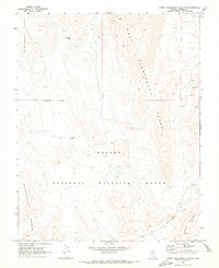
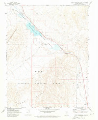
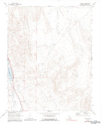
1969 Map of Lower Pahranagat Lake NW
USGS Topo · Published 1973About this map
The Desert National Wildlife Range dominates this late-1960s survey of Lincoln County, showcasing a landscape of high-altitude desert topography and strategic mountain passes. The map is anchored by the converging ridges of the East Pahranagat Range, the Pahranagat Range, and the northern edge of the Sheep Range. These geological formations are separated by high valleys and singular transit points such as Medsger Pass, which likely served as a primary corridor through the difficult terrain.
Find a feature on this map
10 named features on this map. Tap any name to fly to it.
Don’t see what you’re looking for? This feature index may not catch every label — zoom into the map to look around manually.
Map Details
Editions of this 1969 Lower Pahranagat Lake NW Map
This is the sole edition of this map. No revisions or reprints were ever made.
Other maps of this area
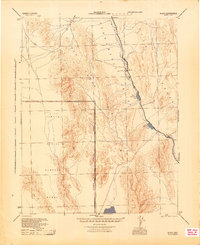
1945 · Alamo
USGS Topo · 1:125,000

1954 · Caliente
USGS Topo · 1:250,000

1959 · Caliente
USGS Topo · 1:250,000
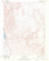
1969 · Alamo SE
USGS Topo · 1:24,000
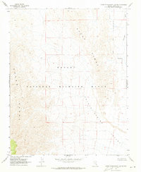
1969 · Lower Pahranagat Lake SE
USGS Topo · 1:24,000
1969 · Lower Pahranagat Lake
USGS Topo · 1:24,000
1969 · Lower Pahranagat Lake SW
USGS Topo · 1:24,000
1969 · Alamo
USGS Topo · 1:24,000
1980 · Alamo
USGS Topo · 1:24,000
1980 · Alamo SE
USGS Topo · 1:24,000