
1969 Map of Lower Pahranagat Lake
USGS Topo · Published 1973About this map
Pahranagat National Wildlife Refuge anchors this desert landscape, where water dictates the patterns of travel and land use. The presence of Lower Pahranagat Lake and Maynard Lake creates a critical riparian corridor between the limestone peaks of the East Pahranagat Range and the Sheep Range. This transition from mountain to basin is marked by ancient travel routes such as the Old Corn Creek Road and natural water sources like Lone Tree Spring.
Find a feature on this map
15 named features on this map. Tap any name to fly to it.
Don’t see what you’re looking for? This feature index may not catch every label — zoom into the map to look around manually.
Map Details
Editions of this 1969 Lower Pahranagat Lake Map
This is the sole edition of this map. No revisions or reprints were ever made.
Other maps of this area

1885 · Pioche
USGS Topo · 1:250,000

1886 · Pioche
USGS Topo · 1:250,000

1945 · Alamo
USGS Topo · 1:125,000

1954 · Caliente
USGS Topo · 1:250,000

1959 · Caliente
USGS Topo · 1:250,000

1969 · Alamo SE
USGS Topo · 1:24,000
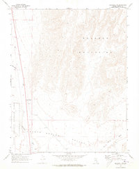
1969 · Delamar 3 SW
USGS Topo · 1:24,000
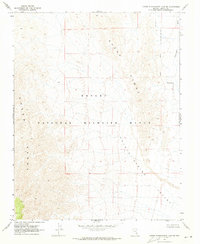
1969 · Lower Pahranagat Lake SE
USGS Topo · 1:24,000
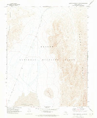
1969 · Lower Pahranagat Lake SW
USGS Topo · 1:24,000
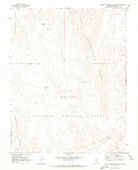
1969 · Lower Pahranagat Lake NW
USGS Topo · 1:24,000