
1969 Map of Alamo SE
USGS Topo · Published 1972About this map
Pahranagat National Wildlife Refuge anchors the western portion of this 1969 survey, where the Pahranagat Valley floor meets the sharp elevation of the Hiko Range. This desert sanctuary centers on Upper Pahranagat Lake, a critical water source in an arid landscape marked by steep ridgelines and the wide, open expanse of Eightmile Valley to the east.
Find a feature on this map
9 named features on this map. Tap any name to fly to it.
Don’t see what you’re looking for? This feature index may not catch every label — zoom into the map to look around manually.
Map Details
Editions of this 1969 Alamo SE Map
This is the sole edition of this map. No revisions or reprints were ever made.
Other maps of this area

1885 · Pioche
USGS Topo · 1:250,000

1886 · Pioche
USGS Topo · 1:250,000

1945 · Alamo
USGS Topo · 1:125,000

1954 · Caliente
USGS Topo · 1:250,000

1959 · Caliente
USGS Topo · 1:250,000

1969 · Lower Pahranagat Lake
USGS Topo · 1:24,000

1969 · Alamo NE
USGS Topo · 1:24,000
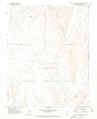
1969 · Lower Pahranagat Lake NW
USGS Topo · 1:24,000
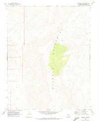
1969 · Delamar 3 NW
USGS Topo · 1:24,000

1969 · Alamo
USGS Topo · 1:24,000