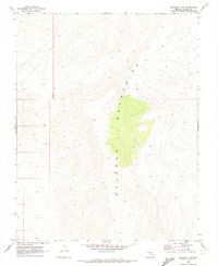
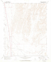
1969 Map of Delamar 3 NW
USGS Topo · Published 1973About this map
The Delamar Mountains dominate this 1969 topographical survey, capturing the complex desert terrain of southern Lincoln County during a period of high-altitude mapping. Compiled from 1967 aerial photography and 1969 field checks, the map provides a look at the uninhabited expanses of the Nevada desert before modern infrastructure reached these interior ranges. The landscape is defined by the sharp verticality of the Delamar Mountains, shown in fine detail with forty-foot contour intervals. While no settlements or roads are recorded on this specific sheet, the precise surveying of township and range lines, such as T. 8 S. and T. 9 S., reflects the systematic effort of the Geological Survey to document the Great Basin's most remote reaches for future resource management and navigation.
Find a feature on this map
4 named features on this map. Tap any name to fly to it.
Don’t see what you’re looking for? This feature index may not catch every label — zoom into the map to look around manually.
Map Details
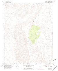
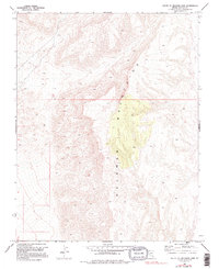
Editions of this 1969 Delamar 3 NW Map
3 editions found
Other maps of this area

1885 · Pioche
USGS Topo · 1:250,000

1886 · Pioche
USGS Topo · 1:250,000

1945 · Alamo
USGS Topo · 1:125,000

1954 · Caliente
USGS Topo · 1:250,000

1959 · Caliente
USGS Topo · 1:250,000

1969 · Alamo SE
USGS Topo · 1:24,000
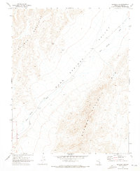
1969 · Delamar 3 SE
USGS Topo · 1:24,000

1969 · Gregerson Basin
USGS Topo · 1:24,000

1969 · Delamar 3 NE
USGS Topo · 1:24,000
1969 · Delamar 3 SW
USGS Topo · 1:24,000