
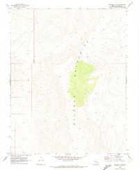
1969 Map of Delamar 3 NE
USGS Topo · Published 1973About this map
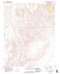
Delamar Mountains dominate this high-desert landscape in Lincoln County, where the topography of the late 1960s reveals a reliance on isolated water sources for ranching or travel. The map identifies critical survival points such as Pony Reservoir in the northwest and a scattered Well and Water Tank that dot the arid basins. To the southeast, the broad expanse of Kane Springs Valley cuts through the desert, providing a glimpse into the vast, open-range conditions before further modernization reached this part of Nevada. The network of unimproved roads and survey marks indicates a region shaped by environmental necessity and the sparse, utilitarian footprint of local land management during this era.
Find a feature on this map
5 named features on this map. Tap any name to fly to it.
Don’t see what you’re looking for? This feature index may not catch every label — zoom into the map to look around manually.
Map Details
Editions of this 1969 Delamar 3 NE Map
2 editions found
Other maps of this area

1885 · Pioche
USGS Topo · 1:250,000

1886 · Pioche
USGS Topo · 1:250,000

1954 · Caliente
USGS Topo · 1:250,000

1959 · Caliente
USGS Topo · 1:250,000

1969 · Vigo NW
USGS Topo · 1:24,000
1969 · Delamar 3 SE
USGS Topo · 1:24,000

1969 · Gregerson Basin
USGS Topo · 1:24,000
1969 · Delamar 3 SW
USGS Topo · 1:24,000
1969 · Sunflower Mtn
USGS Topo · 1:24,000
1969 · Delamar 3 NW
USGS Topo · 1:24,000