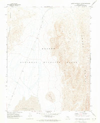
1969 Map of Lower Pahranagat Lake SW
USGS Topo · Published 1973About this map
The Desert National Wildlife Range dominates this landscape, encompassing a high-altitude basin flanked by the Pahranagat Range and the Sheep Range. This late 1960s environment is defined by its arid geography, featuring the dry bed of Desert Lake and a series of Sand Dunes at the southern end of the valley. Transportation through this remote section of Lincoln County is limited to primitive routes like the Old Corn Creek Road, which traces the valley floor. The map provides precise topographic detail of the alluvial fans and steep mountain slopes that characterize the Great Basin, reflecting a period of careful land management and environmental study by federal agencies prior to modern development.
Find a feature on this map
6 named features on this map. Tap any name to fly to it.
Don’t see what you’re looking for? This feature index may not catch every label — zoom into the map to look around manually.
Map Details
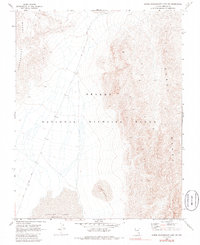
Editions of this 1969 Lower Pahranagat Lake SW Map
2 editions found
Other maps of this area

1907 · Las Vegas
USGS Topo · 1:250,000

1908 · Las Vegas
USGS Topo · 1:250,000

1945 · Sheep Range
USGS Topo · 1:125,000

1945 · Alamo
USGS Topo · 1:125,000

1954 · Caliente
USGS Topo · 1:250,000

1954 · Las Vegas
USGS Topo · 1:250,000

1957 · Las Vegas
USGS Topo · 1:250,000

1959 · Caliente
USGS Topo · 1:250,000

1959 · Las Vegas
USGS Topo · 1:250,000

1962 · Las Vegas
USGS Topo · 1:250,000