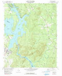
1981 Map of Badin
USGS Topo · Published 1991About this map
The industrial and natural landscape of the Yadkin River and Pee Dee River corridor is defined by the massive impoundment of Badin Lake and the hydroelectric infrastructure of Badin Dam and Falls Dam. This map reveals the transition between the developed settlement at Badin, with its organized street grid and Alcoa Road, and the protected woodlands of the Uwharrie National Forest. Further inland, the terrain rises into the Dutch Mountains, where symbols of the region's mineral history appear at Coggins Mine and along the waters of Gold Mine Br. Cultural landmarks like Macedonia Ch and Lanes Chapel serve as anchor points for rural communities such as Eldorado and Ollie, while the southern reaches preserve public lands within Morrow Mountain State Park.
Find a feature on this map
61 named features on this map. Tap any name to fly to it.
Don’t see what you’re looking for? This feature index may not catch every label — zoom into the map to look around manually.
Map Details
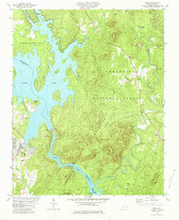
Editions of this 1981 Badin Map
2 editions found
Other maps of this area

1942 · Troy
USGS Topo · 1:125,000

1949 · High Rock
USGS Topo · 1:24,000

1953 · Raleigh
USGS Topo · 1:250,000

1953 · Charlotte
USGS Topo · 1:250,000

1954 · Charlotte
USGS Topo · 1:250,000

1954 · Raleigh
USGS Topo · 1:250,000

1957 · Albemarle
USGS Topo · 1:62,500

1957 · Denton
USGS Topo · 1:62,500

1957 · Troy
USGS Topo · 1:62,500

1957 · Asheboro
USGS Topo · 1:62,500