
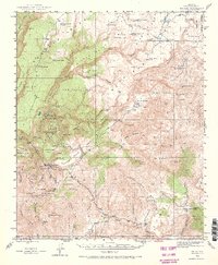
1945 Map of Bagdad
USGS Topo · Published 1964About this map
The copper-rich district surrounding Bagdad is the focal point of this mid-century Yavapai County survey. The landscape is heavily marked by industrial activity, with several significant mining operations including the Black Pearl Mine, Hillside Mine, and Old Dick Mine clustered near the rugged drainage of Boulder Creek. These sites, alongside others like the Comstock-Dexter Mine, highlight the intensive mineral extraction that shaped the local economy and settlement patterns during this era.
Find a feature on this map
80 named features on this map. Tap any name to fly to it.
Don’t see what you’re looking for? This feature index may not catch every label — zoom into the map to look around manually.
Map Details
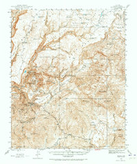
Editions of this 1945 Bagdad Map
3 editions found
Other maps of this area

1887 · Prescott
USGS Topo · 1:250,000

1892 · Prescott
USGS Topo · 1:250,000

1903 · Congress
USGS Topo · 1:125,000

1904 · Congress
USGS Topo · 1:125,000

1923 · Signal
USGS Topo · 1:250,000

1942 · Signal
USGS Topo · 1:250,000

1947 · Sheridan Mountain
USGS Topo · 1:62,500

1947 · Camp Wood
USGS Topo · 1:62,500

1948 · Sheridan Mountain
USGS Topo · 1:63,360

1948 · Camp Wood
USGS Topo · 1:63,360