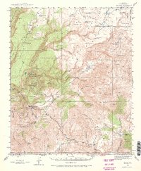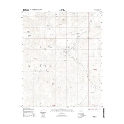
1986 Map of Bagdad
USGS Topo · Published 1986About this map
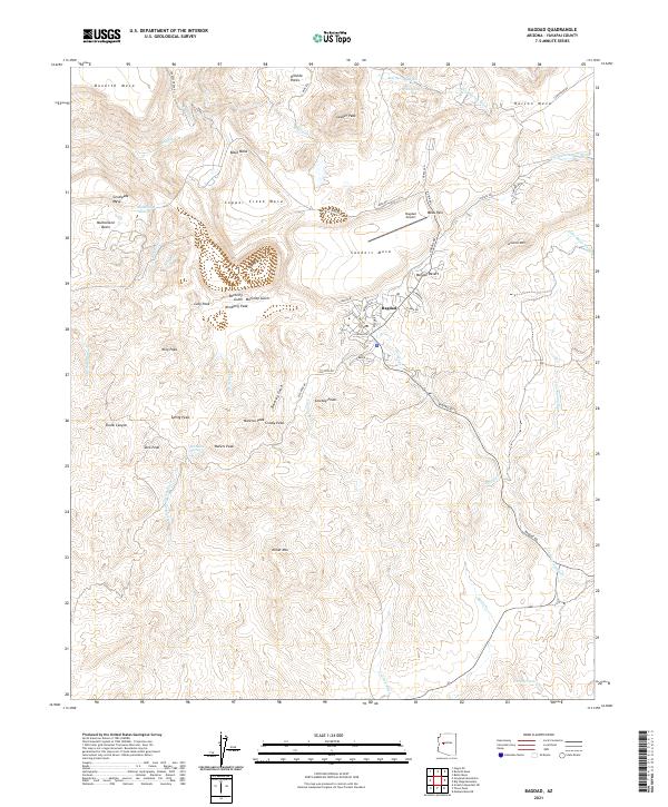
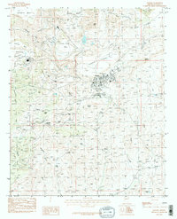
The town of Bagdad serves as the central hub of this Arizona mining landscape, characterized by significant industrial activity and high desert peaks. In the mid-1980s, the terrain is shaped by extensive mining operations, evident in the numerous Mine Shafts, Prospects, and Tailings Ponds that dot the area near Copper Creek. The industrial footprint contrasts with the surrounding high country, where prominent elevations like Lawler Peak and Kimberly Peak overlook the rugged drainage of Bridle Creek. This survey captures a specific moment of expansion, documenting the proximity of residential areas to the large-scale terraforming required by the copper industry, as seen near Copper Creek Mesa and the Airport. From the northern reaches of Hillside to the southern slopes of Miller Mountain, the map details a landscape defined by its mineral wealth and the necessary infrastructure of tanks and four-wheel-drive trails used to navigate the Yavapai County back country.
Find a feature on this map
48 named features on this map. Tap any name to fly to it.
Don’t see what you’re looking for? This feature index may not catch every label — zoom into the map to look around manually.
Map Details
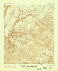
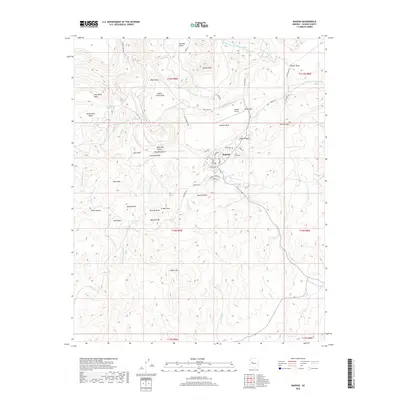
Editions of this 1986 Bagdad Map
2 editions found
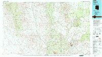
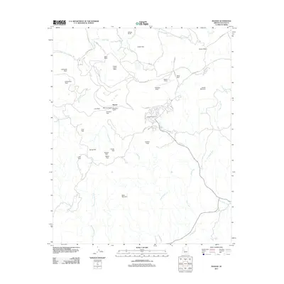
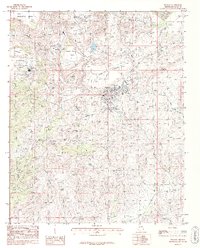
Historical Maps of Bagdad Through Time
8 maps found