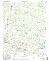
1978 Map of Bailey
USGS Topo · Published 1982About this map
Toisnot Swamp and Whiteoak Swamp dominate the low-lying drainage patterns of western Nash County, shaping the settlement layout between the Tar River and the rural communities to the south. The 1970s landscape shows a robust network of country churches and schools that anchored local life, including Whiteoak Hill Ch, Union View Ch, and Southern Nash High Sch.
Find a feature on this map
43 named features on this map. Tap any name to fly to it.
Don’t see what you’re looking for? This feature index may not catch every label — zoom into the map to look around manually.
Map Details
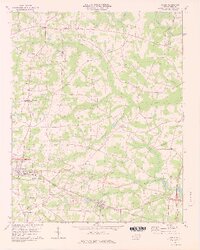
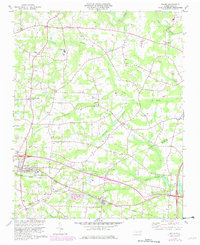
Editions of this 1978 Bailey Map
3 editions found
Other maps of this area

1902 · Kenly
USGS Topo · 1:62,500

1902 · Rocky Mount
USGS Topo · 1:62,500

1902 · Spring Hope
USGS Topo · 1:62,500

1903 · Kenly
USGS Topo · 1:62,500

1904 · Rocky Mount
USGS Topo · 1:62,500

1904 · Springhope
USGS Topo · 1:62,500

1904 · Wilson
USGS Topo · 1:62,500

1953 · Rocky Mount
USGS Topo · 1:250,000

1953 · Raleigh
USGS Topo · 1:250,000

1954 · Rocky Mount
USGS Topo · 1:250,000