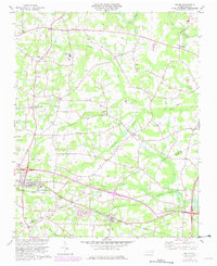
1978 Map of Bailey
USGS Topo · Published 1982About this map
Bailey and Sims anchor the southern portion of this landscape, situated along the Norfolk Southern railway as it crosses the Nash County and Wilson County line. The terrain is defined by a dense network of slow-moving drainage systems, including Toisnot Swamp, Whiteoak Swamp, and Bloomery Swamp, which shape the local agricultural patterns. Small rural communities like Stanhope and Mount Pleasant appear north of the rail line, connected by a web of county roads that link numerous family and community landmarks.
Find a feature on this map
36 named features on this map. Tap any name to fly to it.
Don’t see what you’re looking for? This feature index may not catch every label — zoom into the map to look around manually.
Map Details
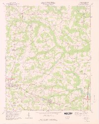
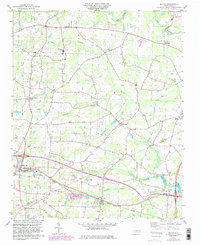
Editions of this 1978 Bailey Map
3 editions found
Other maps of this area

1902 · Kenly
USGS Topo · 1:62,500

1902 · Rocky Mount
USGS Topo · 1:62,500

1902 · Spring Hope
USGS Topo · 1:62,500

1903 · Kenly
USGS Topo · 1:62,500

1904 · Rocky Mount
USGS Topo · 1:62,500

1904 · Springhope
USGS Topo · 1:62,500

1904 · Wilson
USGS Topo · 1:62,500

1953 · Rocky Mount
USGS Topo · 1:250,000

1953 · Raleigh
USGS Topo · 1:250,000

1954 · Rocky Mount
USGS Topo · 1:250,000