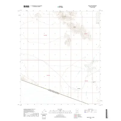
2018 Map of Bailey Peak
USGS Topo · Published 2018About this map
The international boundary between the United States Of America Estados Unidos Mexicanos defines the southern edge of this desert landscape, where the settlement of Shaotkam sits at the foot of rising ridges. The terrain is characterized by the prominent elevation of Bailey Peak and the southern reaches of the Mesquite Mountains, which overlook the expansive desert floor. Two primary drainages, San Simon Wash and Chukut Kuk Wash, course through the basin, illustrating the natural water management of the Sonoran region. To the east, the map reveals the broad expanse of The Great Plain and the opening of Kom Vo Valley, highlighting a geography where isolated peaks give way to wide alluvial basins. This 2018 survey captures the intersection of natural desert topography and the geopolitical line of the border, providing an exact record of roads and watercourses in the Chukut Kuk District.
Find a feature on this map
12 named features on this map. Tap any name to fly to it.
Don’t see what you’re looking for? This feature index may not catch every label — zoom into the map to look around manually.
Map Details
Editions of this 2018 Bailey Peak Map
This is the sole edition of this map. No revisions or reprints were ever made.
Other maps of this area

1954 · Sonoyta
USGS Topo · 1:250,000

1963 · Kom Vo
USGS Topo · 1:62,500

1963 · Lukeville
USGS Topo · 1:250,000

1963 · Diaz Peak
USGS Topo · 1:62,500
1988 · Kom Vo
USGS Topo · 1:24,000
1988 · South of Bailey Peak
USGS Topo · 1:24,000
1988 · South of Papago Farms
USGS Topo · 1:24,000
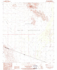
1988 · Bailey Peak
USGS Topo · 1:24,000
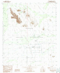
1988 · Papago Farms
USGS Topo · 1:24,000
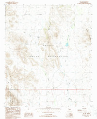
1988 · Pia Oik
USGS Topo · 1:24,000
Featured Places
- Chukut Kuk District, AZ
- Pisinemo District, AZ
- Gu Vo District, AZ
- Shaotkam, Gu Vo District
- Pima County, AZ