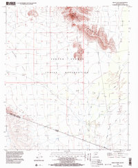
1996 Map of Bailey Peak
USGS Topo · Published 2003About this map
The Tohono O'odham Indian Reservation occupies much of this arid borderlands landscape, dominated by the prominent rising elevation of Bailey Peak. The terrain is characterized by broad alluvial expanses like The Great Plain and desert valleys such as La Quituni Valley and Kom Vo Valley, which are divided by the volcanic profile of the Mesquite Mountains. This 1996 compilation also serves as a precise international record, showing the boundary between the United States of America and Estados Unidos Mexicanos. Arroyos and drainage networks, including San Simon Wash and Kuk Chikut Wash, trace the seasonal flow of water through the Sonoran Desert. The map includes parts of the southern Mexican landscape, identifying features such as C. El Conejo south of the border line.
Find a feature on this map
12 named features on this map. Tap any name to fly to it.
Don’t see what you’re looking for? This feature index may not catch every label — zoom into the map to look around manually.
Map Details
Editions of this 1996 Bailey Peak Map
This is the sole edition of this map. No revisions or reprints were ever made.
Other maps of this area

1954 · Sonoyta
USGS Topo · 1:250,000

1963 · Kom Vo
USGS Topo · 1:62,500

1963 · Lukeville
USGS Topo · 1:250,000

1963 · Diaz Peak
USGS Topo · 1:62,500
1988 · Kom Vo
USGS Topo · 1:24,000
1988 · South of Bailey Peak
USGS Topo · 1:24,000
1988 · South of Papago Farms
USGS Topo · 1:24,000
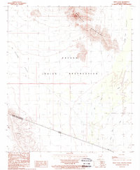
1988 · Bailey Peak
USGS Topo · 1:24,000
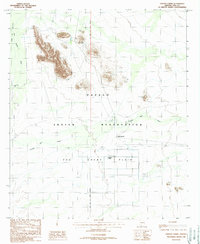
1988 · Papago Farms
USGS Topo · 1:24,000
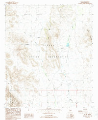
1988 · Pia Oik
USGS Topo · 1:24,000
Featured Places
- Gu Vo District, AZ
- Chukut Kuk District, AZ
- Pisinemo District, AZ
- Shaotkam, Gu Vo District
- Pima County, AZ