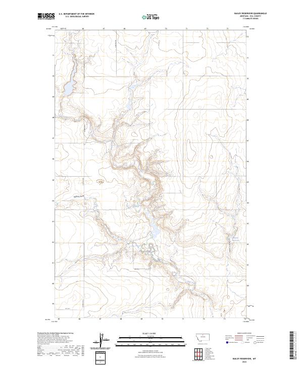
2024 Map of Bailey Reservoir
USGS Topo · Published 2024About this map
Sage Creek winds through this section of Hill County, carving a complex network of drainages across the Montana plains. The landscape is defined by its coulees, most notably Halfway Coulee in the west and Schwartz Coulee to the southeast, which illustrate the natural erosion patterns of the high prairie. Human imprint on the land is primarily represented by the rural road grid, including S Kremlin Rd, and small-scale water management projects like Kiemle Reservoir. This map documents a sparsely populated ranching or agricultural area where the Public Land Survey System sections, such as t31n r13e, dictate the organization of the terrain. The presence of secondary routes like Rd 110 S and Rd 120 S provides a detailed look at the local infrastructure supporting these remote holdings.
Find a feature on this map
13 named features on this map. Tap any name to fly to it.
Don’t see what you’re looking for? This feature index may not catch every label — zoom into the map to look around manually.
Map Details
Editions of this 2024 Bailey Reservoir Map
This is the sole edition of this map. No revisions or reprints were ever made.
Other maps of this area

1904 · Assinniboine
USGS Topo · 1:62,500

1904 · Boxelder
USGS Topo · 1:62,500

1906 · Kremlin
USGS Topo · 1:62,500

1906 · Boxelder
USGS Topo · 1:62,500

1912 · Thibedeau Lake
USGS Topo · 1:125,000

1919 · Big Sandy
USGS Topo · 1:125,000

1920 · Gildford
USGS Topo · 1:125,000

1943 · Gildford
USGS Topo · 1:125,000

1953 · Havre
USGS Topo · 1:250,000

1954 · Shelby
USGS Topo · 1:250,000