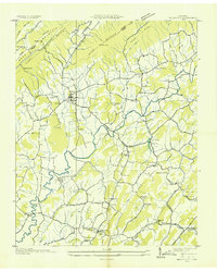
1935 Map of Baileyton
USGS Topo · Published 1935About this map
Baileyton serves as the central hub of this 1935 rural landscape, where the ridges of Piney Mountain and Stone Mountain meet the drainage basins of Caney Creek and Lick Creek. Compiled from early aerial photography by the Tennessee Valley Authority and the Geological Survey, the map reveals a countryside defined by small, family-centric settlements and localized industry. Milling operations are still evident at Lick Creek Mill and Babbs Mill, highlighting the persistence of water-powered infrastructure along the creek bottoms.
Find a feature on this map
53 named features on this map. Tap any name to fly to it.
Don’t see what you’re looking for? This feature index may not catch every label — zoom into the map to look around manually.
Map Details
Editions of this 1935 Baileyton Map
This is the sole edition of this map. No revisions or reprints were ever made.
Other maps of this area

1892 · Greeneville
USGS Topo · 1:125,000

1896 · Greeneville
USGS Topo · 1:125,000

1904 · Greeneville
USGS Topo · 1:125,000
1935 · Surgoinsville
USGS Topo · 1:48,000
1935 · Lovelace
USGS Topo · 1:24,000
1935 · McCloud
USGS Topo · 1:24,000
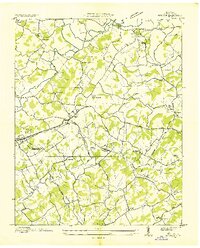
1935 · Mosheim
USGS Topo · 1:24,000
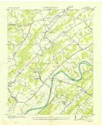
1935 · Burem
USGS Topo · 1:24,000
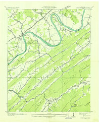
1935 · Stonypoint
USGS Topo · 1:24,000
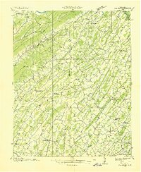
1935 · Fall Branch
USGS Topo · 1:48,000