2023 Map of Bainbridge
USGS Topo · Published 2023About this map
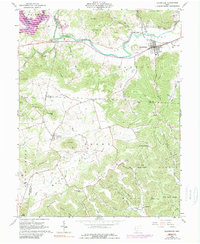
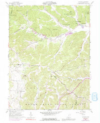
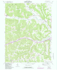
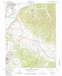
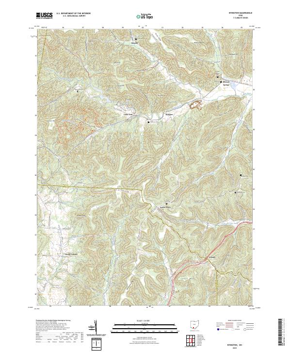
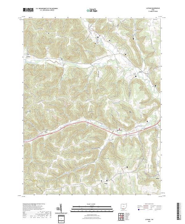
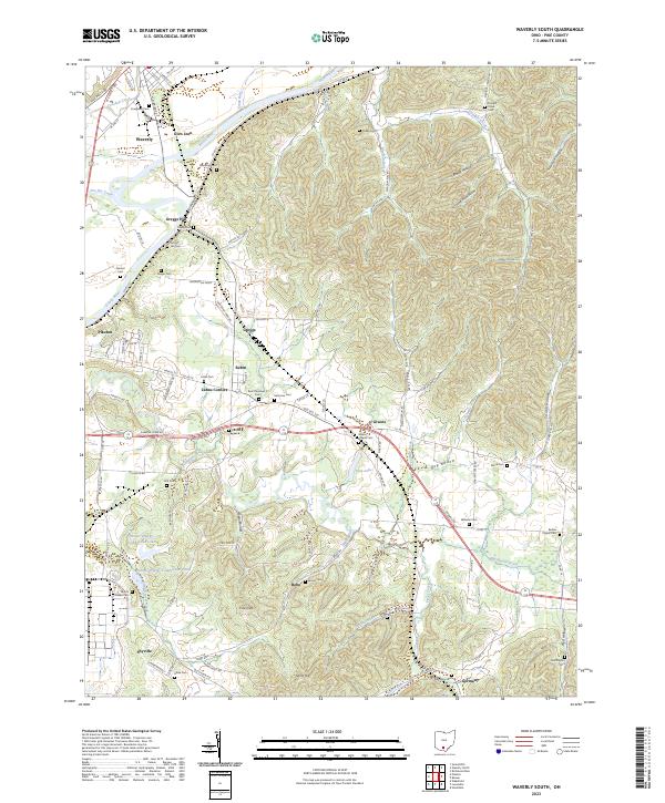
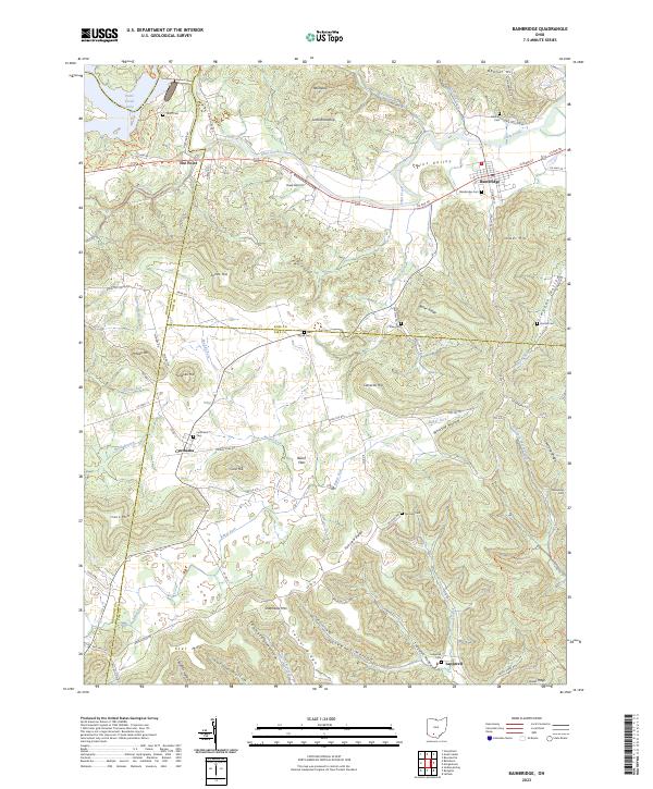
Bainbridge sits at the northern edge of this map, where Paint Creek flows through the Paint Valley. The landscape is defined by its deep hollows and high ridges, including Irons Mtn and Shepherds Mtn, which separate the various forks of the local creek systems. To the south, smaller settlements like Cynthiana and Beech Flats are located along a network of county roads that navigate the complex topography. The map reveals a high density of small family or community burial grounds, such as Benner Cem, Jones Cem, and Pake Cem, providing valuable geographic data for genealogists. The presence of Haas Airport near the center of the sheet highlights the intersection of modern transport within this deeply dissected terrain of Ross County, Pike County, and Highland County.
Find a feature on this map
104 named features on this map. Tap any name to fly to it.
Don’t see what you’re looking for? This feature index may not catch every label — zoom into the map to look around manually.
Map Details
Editions of this 2023 Bainbridge Map
This is the sole edition of this map. No revisions or reprints were ever made.
Historical Maps of Ross County Through Time
9 maps found