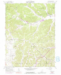
1961 Map of Byington
USGS Topo · Published 1992About this map
Sunfish Creek and its many tributaries, including Little Sunfish Creek and Chenoweth Fork, carve a complex drainage pattern through this corner of the Pike State Forest. The 1961 landscape is defined by its timbered ridges and narrow hollows, where small settlements like Byington and Poplar Grove serve as local anchors. The presence of the Kincaid Springs State Fish Hatchery near Kincaid Springs highlights the region's managed natural resources, while family and community history is preserved in sites like Washburn Cem and Beekman Cem. Extractive industries are represented by the Ford Quarry near Cedar Fork, positioned along the winding route of State Highway 124. The map also captures several country churches, such as Mt Zion Ch and Union Hill Ch, which likely served as the social centers for the surrounding rural families during the mid-20th century.
Find a feature on this map
65 named features on this map. Tap any name to fly to it.
Don’t see what you’re looking for? This feature index may not catch every label — zoom into the map to look around manually.
Map Details
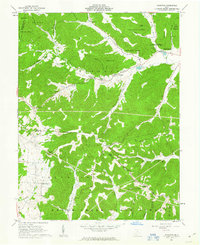
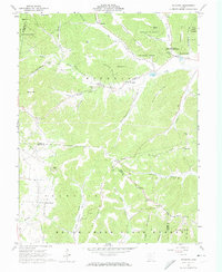
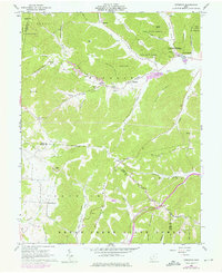
Editions of this 1961 Byington Map
4 editions found
Other maps of this area

1915 · Bainbridge
USGS Topo · 1:48,000

1915 · Otway
USGS Topo · 1:62,500

1915 · Piketon
USGS Topo · 1:62,500

1916 · Peebles
USGS Topo · 1:62,500

1917 · Bainbridge
USGS Topo · 1:62,500

1917 · Piketon
USGS Topo · 1:62,500

1917 · Otway
USGS Topo · 1:62,500

1918 · Peebles
USGS Topo · 1:62,500

1944 · Piketon
USGS Topo · 1:62,500

1947 · Columbus
USGS Topo · 1:250,000