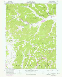
1961 Map of Byington
USGS Topo · Published 1976About this map
Sunfish Creek and its many tributaries, including Dry Bone Creek and Kincaid Creek, carve a deeply dissected landscape across the Pike and Adams county line. This mid-century topography reveals a rural economy centered on conservation and small-town junctions, anchored by the Kincaid Springs State Fish Hatchery and the expansive tracts of Pike State Forest. Small settlements like Byington and Newfain serve as nodes along the winding state routes, while isolated landmarks such as the Lookout Tower on Beaver Ridge highlight the area's forest management priorities. Genealogists will find significant value in the distribution of country churches and family-named cemeteries, including White Oak Ch and Washburn Cem, which sit atop ridges or tucked within hollows like Hackleshin Hollow, preserving the early 20th-century settlement pattern before significant modernization.
Find a feature on this map
70 named features on this map. Tap any name to fly to it.
Don’t see what you’re looking for? This feature index may not catch every label — zoom into the map to look around manually.
Map Details
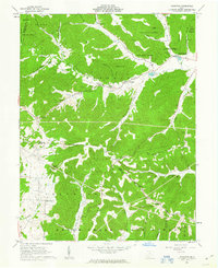
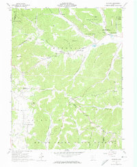
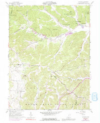
Editions of this 1961 Byington Map
4 editions found
Other maps of this area

1915 · Bainbridge
USGS Topo · 1:48,000

1915 · Otway
USGS Topo · 1:62,500

1915 · Piketon
USGS Topo · 1:62,500

1916 · Peebles
USGS Topo · 1:62,500

1917 · Bainbridge
USGS Topo · 1:62,500

1917 · Piketon
USGS Topo · 1:62,500

1917 · Otway
USGS Topo · 1:62,500

1918 · Peebles
USGS Topo · 1:62,500

1944 · Piketon
USGS Topo · 1:62,500

1947 · Columbus
USGS Topo · 1:250,000