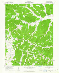
1961 Map of Byington
USGS Topo · Published 1963About this map
The Kincaid Springs State Fish Hatchery and its surrounding watershed define this 1961 portrait of rural southern Ohio. Centered on the settlement of Byington, the landscape is a complex network of high ridges like Beekman Ridge and Turner Ridge that separate the drainage of Sunfish Creek from Scioto Brush Creek. The presence of the Pike State Forest and Brush Creek State Forest suggests a region heavily shaped by state conservation and forestry management during the mid-twentieth century.
Find a feature on this map
61 named features on this map. Tap any name to fly to it.
Don’t see what you’re looking for? This feature index may not catch every label — zoom into the map to look around manually.
Map Details
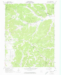
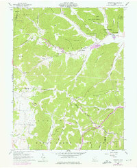
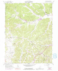
Editions of this 1961 Byington Map
4 editions found
Other maps of this area

1915 · Bainbridge
USGS Topo · 1:48,000

1915 · Otway
USGS Topo · 1:62,500

1915 · Piketon
USGS Topo · 1:62,500

1916 · Peebles
USGS Topo · 1:62,500

1917 · Bainbridge
USGS Topo · 1:62,500

1917 · Piketon
USGS Topo · 1:62,500

1917 · Otway
USGS Topo · 1:62,500

1918 · Peebles
USGS Topo · 1:62,500

1944 · Piketon
USGS Topo · 1:62,500

1947 · Columbus
USGS Topo · 1:250,000