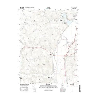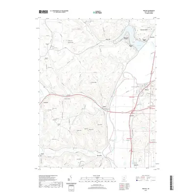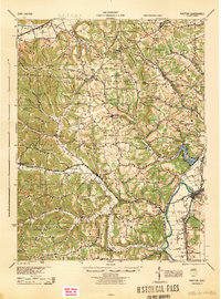
1944 Map of Piketon
USGS Topo · Published 1944About this map
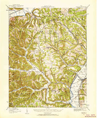
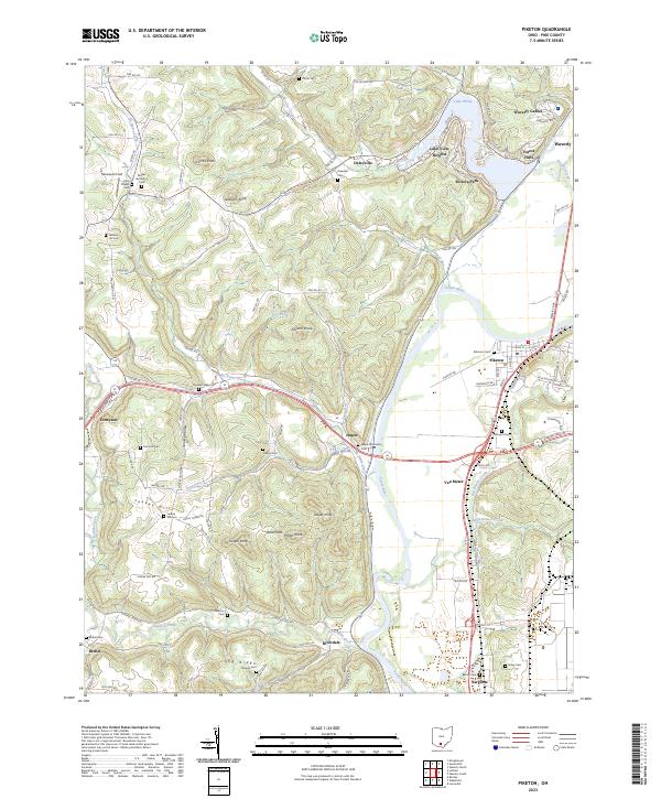
Piketon and the broad valley of the Scioto River dominate the eastern edge of this landscape, where the Norfolk and Western RR runs parallel to the water through Jasper and Sargents. To the west, the terrain rises into complex ridges and hollows, such as Green Ridge and Egyptian Hollow, connected by an extensive network of rural schools including Potts Hill Sch and Leeth Creek Sch. The presence of the massive Seip Mound near the northern boundary and Mound Cemetery near Piketon reflects the area's ancient earthwork history.
Find a feature on this map
124 named features on this map. Tap any name to fly to it.
Don’t see what you’re looking for? This feature index may not catch every label — zoom into the map to look around manually.
Map Details
Editions of this 1944 Piketon Map
This is the sole edition of this map. No revisions or reprints were ever made.
Historical Maps of Waverly Through Time
9 maps found