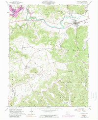
1961 Map of Bainbridge
USGS Topo · Published 1989About this map
Bainbridge serves as the primary hub of this landscape, situated along the northern banks of Paint Creek where Detroit Creek and Tong Hollow Creek converge. The topography is defined by significant elevations like Irons Mountain and Star Mountain, reflecting a region of deep hollows and high ridges. The map reveals a rural economy transitioning between agriculture and industry, noted by a Strip Mine to the east and a Factory near Barrett Hill. Genealogists will find numerous family-named landmarks including Hulitt Cem, Jones Cem, and Garner Cem. Much of the southern terrain is protected within the Pike State Forest, where the small settlement of Lapperell is tucked into the valley of Kincaid Creek. Evidence of ancient habitation is preserved at the Indian Mound just south of Bainbridge, providing a deep temporal layer to this mid-century survey.
Find a feature on this map
69 named features on this map. Tap any name to fly to it.
Don’t see what you’re looking for? This feature index may not catch every label — zoom into the map to look around manually.
Map Details
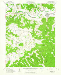
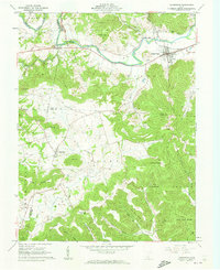
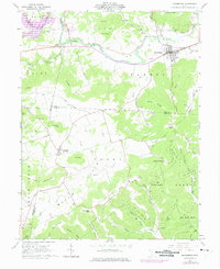
Editions of this 1961 Bainbridge Map
4 editions found
Other maps of this area

1912 · Roxabell
USGS Topo · 1:62,500

1914 · Roxabell
USGS Topo · 1:62,500

1915 · Bainbridge
USGS Topo · 1:48,000

1915 · Piketon
USGS Topo · 1:62,500

1917 · Bainbridge
USGS Topo · 1:62,500

1917 · Piketon
USGS Topo · 1:62,500

1917 · Greenfield
USGS Topo · 1:62,500

1944 · Piketon
USGS Topo · 1:62,500

1944 · Greenfield
USGS Topo · 1:62,500

1944 · Roxabell
USGS Topo · 1:62,500