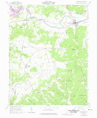
1961 Map of Bainbridge
USGS Topo · Published 1975About this map
Bainbridge sits at the northern edge of this survey where the wide Paint Valley transitions into the dissected ridges of the Pike State Forest. The settlement pattern reflects a deeply rural landscape defined by family-named hollows and isolated hills like McNary Hill and Sylvester Hill. In the south, the community of Lapperell serves as a waypoint near the Lapperell Cem, while to the west, Cynthiana marks a historic crossroads. This region's early history is evidenced by the Indian Mound near Paint Creek and numerous small burial grounds such as Hulitt Cem and Garner Cem. The economy of the era is represented by a Strip Mine on the eastern hills and the presence of the Toledo and Ironton railroad line, while the natural limestone features of The Seven Caves highlight the area's geological character.
Find a feature on this map
68 named features on this map. Tap any name to fly to it.
Don’t see what you’re looking for? This feature index may not catch every label — zoom into the map to look around manually.
Map Details
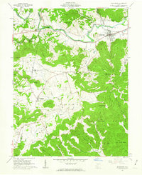
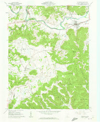
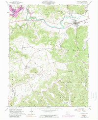
Editions of this 1961 Bainbridge Map
4 editions found
Other maps of this area

1912 · Roxabell
USGS Topo · 1:62,500

1914 · Roxabell
USGS Topo · 1:62,500

1915 · Bainbridge
USGS Topo · 1:48,000

1915 · Piketon
USGS Topo · 1:62,500

1917 · Bainbridge
USGS Topo · 1:62,500

1917 · Piketon
USGS Topo · 1:62,500

1917 · Greenfield
USGS Topo · 1:62,500

1944 · Piketon
USGS Topo · 1:62,500

1944 · Greenfield
USGS Topo · 1:62,500

1944 · Roxabell
USGS Topo · 1:62,500