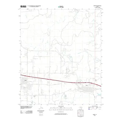
2010 Map of Baird
USGS Topo · Published 2010About this map
The cities of Clyde and Baird anchor this Callahan County landscape, situated along the primary east-west transport corridor of the Interstate 20 Business route. In this part of West Texas, the settlement pattern is defined by a rigid grid of county roads, such as Union Hill Rd and Co Rd 119, that navigate around the drainages of Hubbard Creek and Jenkins Creek. Local history and genealogy are preserved at Saint Joachim Cemetery near the western edge and Ross Cemetery to the east.
Find a feature on this map
38 named features on this map. Tap any name to fly to it.
Don’t see what you’re looking for? This feature index may not catch every label — zoom into the map to look around manually.
Map Details
Editions of this 2010 Baird Map
This is the sole edition of this map. No revisions or reprints were ever made.
Other maps of this area

1890 · Abilene
USGS Topo · 1:125,000

1891 · Anson
USGS Topo · 1:125,000

1892 · Abilene
USGS Topo · 1:125,000

1892 · Albany
USGS Topo · 1:125,000

1893 · Albany
USGS Topo · 1:125,000

1893 · Anson
USGS Topo · 1:125,000

1931 · Baird
USGS Topo · 1:125,000

1932 · Baird
USGS Topo · 1:125,000

1954 · Abilene
USGS Topo · 1:250,000

1957 · Kirby Lake
USGS Topo · 1:62,500