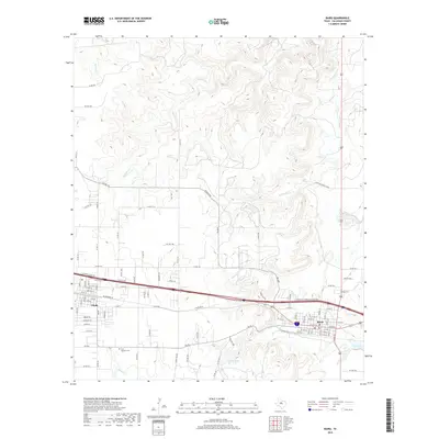
2019 Map of Baird
USGS Topo · Published 2019About this map
The neighboring communities of Clyde and Baird anchor this Callahan County landscape, situated along a primary transportation corridor in the late 2010s. While both towns maintain distinct street grids, the surrounding terrain is defined by the winding drainages of Hubbard Cr, Jenkins Cr, and Spring Cr to the north, and Kaiser Cr to the south. Local heritage is preserved at sites like Saint Joachim Cem west of the city centers and Ross Cem on the eastern edge of Baird. The importance of local water management is evident through features such as Latimer Lake and T P Lake, which break the rolling geography. A dense network of rural infrastructure, including Klepper Rd and Dyer Sims Ranch 405B, illustrates the ongoing connection between these central towns and the expansive ranching lands of the Texas interior.
Find a feature on this map
104 named features on this map. Tap any name to fly to it.
Don’t see what you’re looking for? This feature index may not catch every label — zoom into the map to look around manually.
Map Details
Editions of this 2019 Baird Map
This is the sole edition of this map. No revisions or reprints were ever made.
Other maps of this area

1890 · Abilene
USGS Topo · 1:125,000

1891 · Anson
USGS Topo · 1:125,000

1892 · Abilene
USGS Topo · 1:125,000

1892 · Albany
USGS Topo · 1:125,000

1893 · Albany
USGS Topo · 1:125,000

1893 · Anson
USGS Topo · 1:125,000

1931 · Baird
USGS Topo · 1:125,000

1932 · Baird
USGS Topo · 1:125,000

1954 · Abilene
USGS Topo · 1:250,000

1957 · Kirby Lake
USGS Topo · 1:62,500