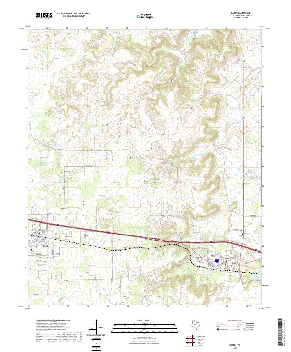
2022 Map of Baird
USGS Topo · Published 2022About this map
Baird and Clyde serve as the primary hubs of this West Texas landscape, positioned along the busy Interstate 20 corridor. This modern topographic record illustrates the transition from the structured street grids of these settlements to the winding ranch roads and rugged drainage basins that characterize Callahan County. Significant for local historians and genealogists, the map identifies established burial grounds including Ross Cem on the eastern edge of Baird and the Saint Joachim Cem further south.
Find a feature on this map
102 named features on this map. Tap any name to fly to it.
Don’t see what you’re looking for? This feature index may not catch every label — zoom into the map to look around manually.
Map Details
Editions of this 2022 Baird Map
This is the sole edition of this map. No revisions or reprints were ever made.
Other maps of this area

1890 · Abilene
USGS Topo · 1:125,000

1891 · Anson
USGS Topo · 1:125,000

1892 · Abilene
USGS Topo · 1:125,000

1892 · Albany
USGS Topo · 1:125,000

1893 · Albany
USGS Topo · 1:125,000

1893 · Anson
USGS Topo · 1:125,000

1931 · Baird
USGS Topo · 1:125,000

1932 · Baird
USGS Topo · 1:125,000

1954 · Abilene
USGS Topo · 1:250,000

1957 · Kirby Lake
USGS Topo · 1:62,500