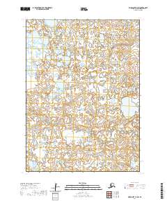
2020 Map of Baird Inlet B-3 SW
USGS Topo · Published 2020About this map
Tagagarak River defines the watery geography of this remote portion of the Bethel Census Area. The terrain is characterized by an intricate network of wetlands and tundra ponds, reflecting the complex hydrology of the Baird Inlet region. This 2020 edition provides a precise look at the township boundaries of t3n r80w, t3n r79w, t2n r80w, and t2n r79w as they intersect the meandering river course. The lack of named settlements or roads emphasizes the undisturbed nature of this subarctic landscape, where the shifting patterns of water and land remain the primary features of interest for those studying the region's environmental history or traditional land use.
Find a feature on this map
5 named features on this map. Tap any name to fly to it.
Don’t see what you’re looking for? This feature index may not catch every label — zoom into the map to look around manually.
Map Details
Editions of this 2020 Baird Inlet B-3 SW Map
This is the sole edition of this map. No revisions or reprints were ever made.
Other maps of this area

1951 · Baird Inlet
USGS Topo · 1:250,000

1954 · Baird Inlet A-3
USGS Topo · 1:63,360

1954 · Baird Inlet
USGS Topo · 1:250,000

1954 · Baird Inlet B-3
USGS Topo · 1:63,360
1954 · Baird Inlet B-4
USGS Topo · 1:63,360
1954 · Baird Inlet A-4
USGS Topo · 1:63,360
2017 · Baird Inlet A-3 NE
USGS Topo · 1:25,000
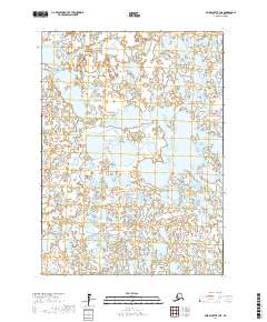
2017 · Baird Inlet B-3 NE
USGS Topo · 1:25,000
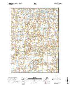
2017 · Baird Inlet B-3 SE
USGS Topo · 1:25,000
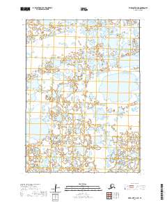
2020 · Baird Inlet A-4 NE
USGS Topo · 1:25,000