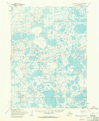
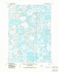
1954 Map of Baird Inlet A-4
USGS Topo · Published 1971About this map
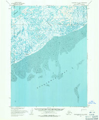
Dall Lake marks the northwestern corner of this 1950s landscape, which is defined by an intricate, unnamed network of water and marshland. The terrain is part of a larger survey effort by the Army Map Service using photogrammetric methods from aerial photography taken in 1952 and 1955. A primary east-west Base Line bisects the quadrangle, serving as a critical reference for the Bureau of Land Management to predetermine unsurveyed land lines across the Seward Meridian. This map provides a meticulous record of the hydrologic patterns before extensive modern changes, showing thousands of small, unlabelled ponds and lake systems that dominate the coastal plain geography of this Alaskan region.
Find a feature on this map
2 named features on this map. Tap any name to fly to it.
Don’t see what you’re looking for? This feature index may not catch every label — zoom into the map to look around manually.
Map Details
Editions of this 1954 Baird Inlet A-4 Map
2 editions found
Other maps of this area

1951 · Kuskokwim Bay
USGS Topo · 1:250,000

1951 · Baird Inlet
USGS Topo · 1:250,000

1953 · Baird Inlet B-5
USGS Topo · 1:63,360
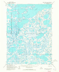
1954 · Baird Inlet A-5
USGS Topo · 1:63,360

1954 · Baird Inlet A-3
USGS Topo · 1:63,360

1954 · Baird Inlet
USGS Topo · 1:250,000

1954 · Kuskokwim Bay
USGS Topo · 1:250,000

1954 · Baird Inlet B-3
USGS Topo · 1:63,360
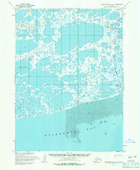
1954 · Kuskokwim Bay D-4
USGS Topo · 1:63,360
1954 · Kuskokwim Bay D-3
USGS Topo · 1:63,360