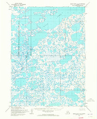
1954 Map of Baird Inlet A-5
USGS Topo · Published 1965About this map
Dall Lake dominates the northern landscape of this 1950s interior Alaskan survey, part of a complex wetland system within the Clarence Rhode National Wildlife Range Area No 2. The map illustrates a high-density labyrinth of tundra ponds and unnamed lakes, characteristic of the Yukon-Kuskokwim Delta's hydrologic patterns. The Kuyukutuk River meanders through the southern half of the quadrangle, serving as a primary drainage corridor. While the area shows no established roads or trails during this era, the survey provides a precise record of the shoreline configurations and water levels as they were photogrammetrically captured from 1953 aerial photography. A prominent East-West Base Line bisects the grid, marking the formal surveying efforts by the Army Map Service to define these unmarked land lines near the Seward Meridian.
Find a feature on this map
10 named features on this map. Tap any name to fly to it.
Don’t see what you’re looking for? This feature index may not catch every label — zoom into the map to look around manually.
Map Details
Editions of this 1954 Baird Inlet A-5 Map
2 editions found
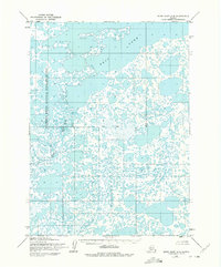
Other maps of this area

1951 · Kuskokwim Bay
USGS Topo · 1:250,000

1951 · Baird Inlet
USGS Topo · 1:250,000

1953 · Baird Inlet B-5
USGS Topo · 1:63,360

1954 · Baird Inlet
USGS Topo · 1:250,000

1954 · Kuskokwim Bay
USGS Topo · 1:250,000

1954 · Baird Inlet B-6
USGS Topo · 1:63,360
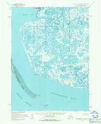
1954 · Kuskokwim Bay D-6
USGS Topo · 1:63,360
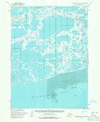
1954 · Kuskokwim Bay D-4
USGS Topo · 1:63,360
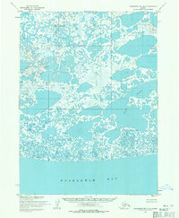
1954 · Kuskokwim Bay D-5
USGS Topo · 1:63,360
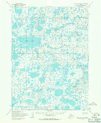
1954 · Baird Inlet B-4
USGS Topo · 1:63,360