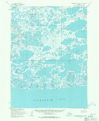
1954 Map of Kuskokwim Bay D-5
USGS Topo · Published 1971About this map
Kuskokwim Bay meets a complex coastal marshland in this mid-century survey of the Alaska coastline near Bethel. The terrain is dominated by an intricate network of hundreds of unnamed thaw lakes and ponds, a signature of the permafrost-influenced landscape. The Kuguklik River meanders through the northern section, its loops and oxbows illustrating the low-gradient nature of the delta. Evidence of historical habitation is sparse on this specific sheet, though the noted Chalit (Site) on the western edge provides a vital point of interest for those researching indigenous settlement patterns or archaeological sites in the region. To the east, the large Bow Lake breaks the pattern of smaller water bodies, defining the inland geography north of the bay's shoreline.
Find a feature on this map
4 named features on this map. Tap any name to fly to it.
Don’t see what you’re looking for? This feature index may not catch every label — zoom into the map to look around manually.
Map Details
Editions of this 1954 Kuskokwim Bay D-5 Map
2 editions found
Other maps of this area

1951 · Kuskokwim Bay
USGS Topo · 1:250,000

1951 · Baird Inlet
USGS Topo · 1:250,000
1954 · Baird Inlet A-5
USGS Topo · 1:63,360

1954 · Baird Inlet
USGS Topo · 1:250,000

1954 · Kuskokwim Bay
USGS Topo · 1:250,000
1954 · Kuskokwim Bay D-6
USGS Topo · 1:63,360
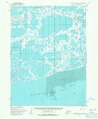
1954 · Kuskokwim Bay D-4
USGS Topo · 1:63,360
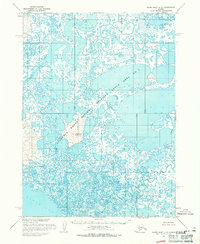
1954 · Baird Inlet A-6
USGS Topo · 1:63,360
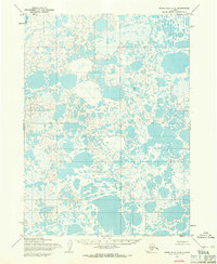
1954 · Baird Inlet A-4
USGS Topo · 1:63,360
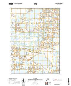
2020 · Baird Inlet A-5 SE
USGS Topo · 1:25,000