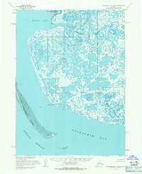
1954 Map of Kuskokwim Bay D-6
USGS Topo · Published 1971About this map
Kipnuk and the small coastal settlement of Anogok stand as the primary hubs of human activity on this mid-century survey of the Alaskan coast. This amphibious landscape, dominated by the Clarence Rhode National Wildlife Range, is defined by a complex network of tidal flats and meandering waterways including the Kinak River and Kuguklik River. The inclusion of a Seaplane Anchorage near the mouth of the river highlights the critical role of aviation in connecting these remote coastal communities. The coastline is anchored by the prominent Cape Avinof, while the long, narrow Pingurbek Island acts as a natural barrier between Kuskokwim Bay and the Etolin Strait. This map records a vast delta system where the line between land and water is constantly blurred by expansive mud flats and shifting channels like the Kwigukluk River.
Find a feature on this map
14 named features on this map. Tap any name to fly to it.
Don’t see what you’re looking for? This feature index may not catch every label — zoom into the map to look around manually.
Map Details
Editions of this 1954 Kuskokwim Bay D-6 Map
This is the sole edition of this map. No revisions or reprints were ever made.
Other maps of this area

1951 · Kuskokwim Bay
USGS Topo · 1:250,000

1951 · Baird Inlet
USGS Topo · 1:250,000
1954 · Baird Inlet A-5
USGS Topo · 1:63,360

1954 · Baird Inlet
USGS Topo · 1:250,000

1954 · Kuskokwim Bay
USGS Topo · 1:250,000
1954 · Baird Inlet A-7
USGS Topo · 1:63,360
1954 · Kuskokwim Bay D-7
USGS Topo · 1:63,360
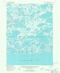
1954 · Kuskokwim Bay D-5
USGS Topo · 1:63,360
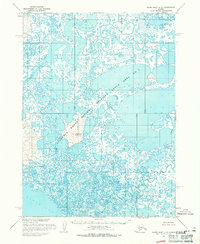
1954 · Baird Inlet A-6
USGS Topo · 1:63,360
2020 · Kuskokwim Bay D-6 OE S NE
USGS Topo · 1:25,000