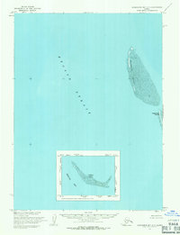
1954 Map of Kuskokwim Bay D-7
USGS Topo · Published 1971About this map
Etolin Strait dominates this maritime survey, illustrating the desolate coastal geography along the edge of the Bering Sea in the mid-1950s. The landscape consists primarily of low-lying islands and extensive Tidal Flats that shift with the northern tides. Kikegtek Island and Pingurbek Island appear as narrow landmasses, their forms defined by the surrounding shallow waters. A detailed inset focuses on Kwigluk Island, providing a closer look at the intricate shoreline and surrounding flats typical of the Kuskokwim Bay region. This map captures the area as recorded by the U.S. Army Topographic Command, documenting a remote stretch of the Alaskan coast where the boundary between land and sea remains fluid and largely undeveloped.
Find a feature on this map
6 named features on this map. Tap any name to fly to it.
Don’t see what you’re looking for? This feature index may not catch every label — zoom into the map to look around manually.
Map Details
Editions of this 1954 Kuskokwim Bay D-7 Map
This is the sole edition of this map. No revisions or reprints were ever made.
Other maps of this area

1951 · Kuskokwim Bay
USGS Topo · 1:250,000

1951 · Baird Inlet
USGS Topo · 1:250,000

1954 · Baird Inlet
USGS Topo · 1:250,000

1954 · Kuskokwim Bay
USGS Topo · 1:250,000
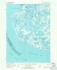
1954 · Kuskokwim Bay D-6
USGS Topo · 1:63,360
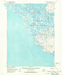
1954 · Baird Inlet A-7
USGS Topo · 1:63,360
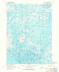
1954 · Baird Inlet A-6
USGS Topo · 1:63,360
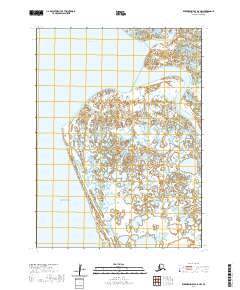
2020 · Kuskokwim Bay D-6 NW
USGS Topo · 1:25,000
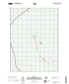
2020 · Kuskokwim Bay D-7 NE
USGS Topo · 1:25,000
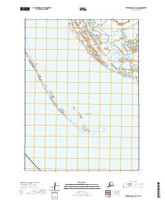
2020 · Kuskokwim Bay D-6 SW
USGS Topo · 1:25,000