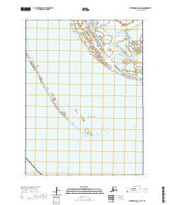
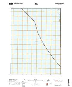
2020 Map of Kuskokwim Bay D-6 SW
USGS Topo · Published 2020About this map
Cape Avinof projects into the coastal waters of southwest Alaska, marking a significant geographic point where the Bering Sea meets the Etolin Strait. This 2020 survey illustrates a highly dynamic maritime environment characterized by a fragmented shoreline and the presence of offshore features like Fingurbek Island. The map data, synthesizing hydrography from the National Hydrography Dataset and satellite imagery, reveals the complex interactions of tide and silt along this portion of the Bethel Census Area.
Find a feature on this map
10 named features on this map. Tap any name to fly to it.
Don’t see what you’re looking for? This feature index may not catch every label — zoom into the map to look around manually.
Map Details
Editions of this 2020 Kuskokwim Bay D-6 SW Map
This is the sole edition of this map. No revisions or reprints were ever made.
Other maps of this area

1951 · Kuskokwim Bay
USGS Topo · 1:250,000

1954 · Kuskokwim Bay
USGS Topo · 1:250,000
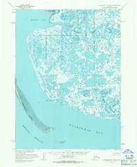
1954 · Kuskokwim Bay D-6
USGS Topo · 1:63,360
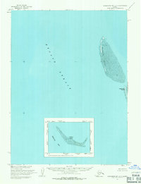
1954 · Kuskokwim Bay D-7
USGS Topo · 1:63,360
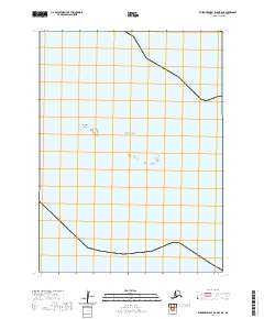
2020 · Kuskokwim Bay D-6 OE S NE
USGS Topo · 1:25,000
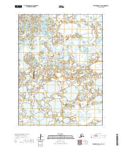
2020 · Kuskokwim Bay D-6 NE
USGS Topo · 1:25,000
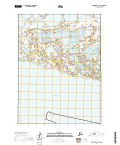
2020 · Kuskokwim Bay D-6 SE
USGS Topo · 1:25,000
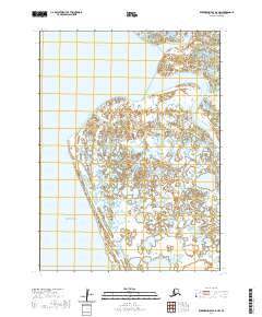
2020 · Kuskokwim Bay D-6 NW
USGS Topo · 1:25,000
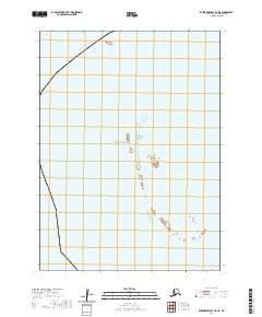
2020 · Kuskokwim Bay D-7 NE
USGS Topo · 1:25,000
2020 · Kuskokwim Bay D-7 SE
USGS Topo · 1:25,000