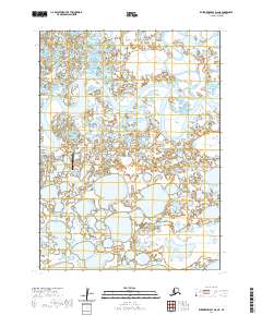
2020 Map of Kuskokwim Bay D-6 NE
USGS Topo · Published 2020About this map
Kipnuk sits at the heart of this coastal tundra landscape, serving as a vital hub for the Bethel Census Area. The community is connected to its essential infrastructure via the Airport Access Road and Landfill Access Road, reflecting the organized layout of this remote settlement. The meandering Kuguklik River dominates the northern half of the map, carving a complex path through a network of smaller lakes and wetlands. The prevalence of water and low-lying terrain highlights the unique environmental challenges and transport reliance on the Kipnuk Airport for this southwestern Alaska region. This 2020 survey provides a detailed view of the town's footprint and its immediate proximity to the river's winding course.
Find a feature on this map
9 named features on this map. Tap any name to fly to it.
Don’t see what you’re looking for? This feature index may not catch every label — zoom into the map to look around manually.
Map Details
Editions of this 2020 Kuskokwim Bay D-6 NE Map
This is the sole edition of this map. No revisions or reprints were ever made.
Other maps of this area

1951 · Kuskokwim Bay
USGS Topo · 1:250,000

1951 · Baird Inlet
USGS Topo · 1:250,000
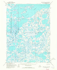
1954 · Baird Inlet A-5
USGS Topo · 1:63,360

1954 · Baird Inlet
USGS Topo · 1:250,000

1954 · Kuskokwim Bay
USGS Topo · 1:250,000
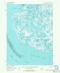
1954 · Kuskokwim Bay D-6
USGS Topo · 1:63,360
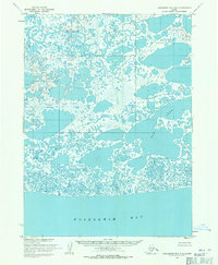
1954 · Kuskokwim Bay D-5
USGS Topo · 1:63,360
1954 · Baird Inlet A-6
USGS Topo · 1:63,360
2020 · Kuskokwim Bay D-5 NW
USGS Topo · 1:25,000
2020 · Baird Inlet A-6 SE
USGS Topo · 1:25,000