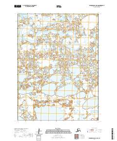
2020 Map of Kuskokwim Bay D-5 NW
USGS Topo · Published 2020About this map
The Kuguklik River winds through this expanse of the Bethel Census Area in western Alaska, defining a landscape dominated by complex wetland systems and small lakes. This 2020 USGS survey documents the intricate hydrography of the region between Townships 2 and 3 South and Ranges 84 and 85 West. The map's high-resolution contour data reveals the subtle elevation changes characteristic of the river delta environment, where shifting water patterns and seasonal changes dictate the geography. The presence of the Kuguklik River remains the primary geographical landmark for navigation and subsistence in this part of the Kuskokwim Bay region.
Find a feature on this map
5 named features on this map. Tap any name to fly to it.
Don’t see what you’re looking for? This feature index may not catch every label — zoom into the map to look around manually.
Map Details
Editions of this 2020 Kuskokwim Bay D-5 NW Map
This is the sole edition of this map. No revisions or reprints were ever made.
Other maps of this area

1951 · Kuskokwim Bay
USGS Topo · 1:250,000

1951 · Baird Inlet
USGS Topo · 1:250,000
1954 · Baird Inlet A-5
USGS Topo · 1:63,360

1954 · Baird Inlet
USGS Topo · 1:250,000

1954 · Kuskokwim Bay
USGS Topo · 1:250,000
1954 · Kuskokwim Bay D-6
USGS Topo · 1:63,360
1954 · Kuskokwim Bay D-5
USGS Topo · 1:63,360
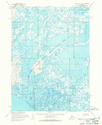
1954 · Baird Inlet A-6
USGS Topo · 1:63,360
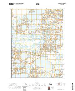
2020 · Baird Inlet A-5 SE
USGS Topo · 1:25,000
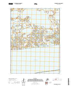
2020 · Kuskokwim Bay D-5 SE
USGS Topo · 1:25,000