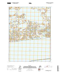
2020 Map of Kuskokwim Bay D-5 SE
USGS Topo · Published 2020About this map
Bering Sea waters meet the southwestern coast of Alaska in this coastal survey from the Bethel Census Area. The landscape is defined by the massive Kuskokwim Bay and the interconnected labyrinth of the Yukon-Kuskokwim Delta. Further inland, the terrain is punctuated by Bow Lake, a large water body situated amidst a complex network of smaller ponds and marshy areas characteristic of this subarctic environment. The map provides precise surveying of the Public Land Survey System grids, specifically portions of t3s r84w, t3s r83w, t4s r84w, and t4s r83w. This modern 2020 record reflects the enduring, roadless character of this maritime wilderness, where the shifting hydrology of the delta remains the primary geographic feature.
Find a feature on this map
7 named features on this map. Tap any name to fly to it.
Don’t see what you’re looking for? This feature index may not catch every label — zoom into the map to look around manually.
Map Details
Editions of this 2020 Kuskokwim Bay D-5 SE Map
This is the sole edition of this map. No revisions or reprints were ever made.
Other maps of this area

1951 · Kuskokwim Bay
USGS Topo · 1:250,000

1954 · Kuskokwim Bay
USGS Topo · 1:250,000
1954 · Kuskokwim Bay D-4
USGS Topo · 1:63,360
1954 · Kuskokwim Bay D-5
USGS Topo · 1:63,360
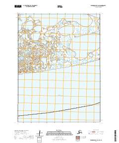
2020 · Kuskokwim Bay D-4 SW
USGS Topo · 1:25,000
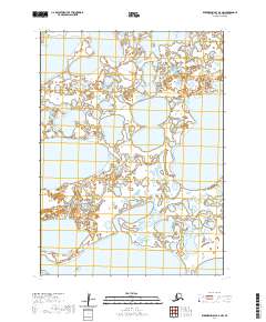
2020 · Kuskokwim Bay D-4 NW
USGS Topo · 1:25,000
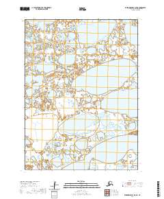
2020 · Kuskokwim Bay D-5 NE
USGS Topo · 1:25,000
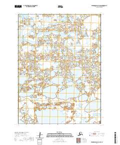
2020 · Kuskokwim Bay D-5 NW
USGS Topo · 1:25,000
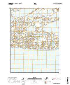
2020 · Kuskokwim Bay D-5 SW
USGS Topo · 1:25,000