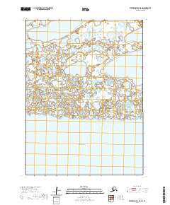
2020 Map of Kuskokwim Bay D-5 SW
USGS Topo · Published 2020About this map
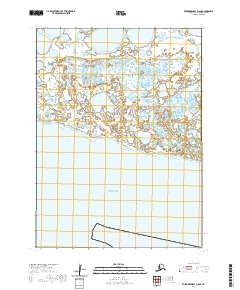
The Bering Sea dominates the southern landscape of this coastal quadrangle in the Bethel Census Area. This modern survey illustrates a complex hydrological network where the land meets the ocean, defined by vast wetland systems and numerous unnamed coastal ponds typical of the Kuskokwim Bay region. The only major named water body inland is Bow Lake in the northeastern corner, which sits amidst a low-lying terrain of saturated ground and shifting shorelines. The absence of roads or permanent settlements within the boundaries of t3s r85w and its neighboring townships underscores the seasonal and remote character of this Alaskan wilderness, where the geography is shaped by the relentless interaction of tide and tundra.
Find a feature on this map
6 named features on this map. Tap any name to fly to it.
Don’t see what you’re looking for? This feature index may not catch every label — zoom into the map to look around manually.
Map Details
Editions of this 2020 Kuskokwim Bay D-5 SW Map
This is the sole edition of this map. No revisions or reprints were ever made.
Other maps of this area

1951 · Kuskokwim Bay
USGS Topo · 1:250,000

1954 · Kuskokwim Bay
USGS Topo · 1:250,000
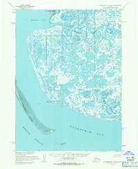
1954 · Kuskokwim Bay D-6
USGS Topo · 1:63,360
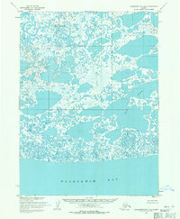
1954 · Kuskokwim Bay D-5
USGS Topo · 1:63,360
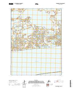
2020 · Kuskokwim Bay D-5 SE
USGS Topo · 1:25,000
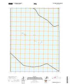
2020 · Kuskokwim Bay D-6 OE S NE
USGS Topo · 1:25,000
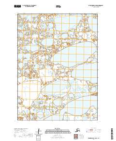
2020 · Kuskokwim Bay D-5 NE
USGS Topo · 1:25,000
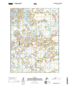
2020 · Kuskokwim Bay D-6 NE
USGS Topo · 1:25,000
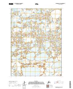
2020 · Kuskokwim Bay D-5 NW
USGS Topo · 1:25,000
2020 · Kuskokwim Bay D-6 SE
USGS Topo · 1:25,000