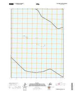
2020 Map of Kuskokwim Bay D-6 OE S NE
USGS Topo · Published 2020About this map
Kwigluk Island sits as a solitary landform within the vast reaches of the Bering Sea in this coastal survey of the Bethel Census Area. The map depicts a sparse maritime landscape dominated by open water and tidal influences, emphasizing the isolation of this corner of Alaska. Detailed Public Land Survey System grids, including t5s r86w, t6s r86w, and t6s r85w, provide the primary structural framework for the sheet, marking out legal boundaries in an area otherwise devoid of permanent human settlements or infrastructure. This 2020 edition illustrates the characteristic shoreline of the Kuskokwim Bay region, where the interplay of water and land is documented through precise bathymetric and topographic data.
Find a feature on this map
5 named features on this map. Tap any name to fly to it.
Don’t see what you’re looking for? This feature index may not catch every label — zoom into the map to look around manually.
Map Details
Editions of this 2020 Kuskokwim Bay D-6 OE S NE Map
This is the sole edition of this map. No revisions or reprints were ever made.
Other maps of this area

1951 · Kuskokwim Bay
USGS Topo · 1:250,000

1954 · Kuskokwim Bay
USGS Topo · 1:250,000
1954 · Kuskokwim Bay D-6
USGS Topo · 1:63,360
1954 · Kuskokwim Bay D-5
USGS Topo · 1:63,360
2020 · Kuskokwim Bay D-6 SE
USGS Topo · 1:25,000
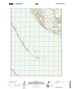
2020 · Kuskokwim Bay D-6 SW
USGS Topo · 1:25,000
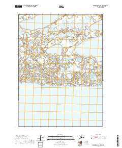
2020 · Kuskokwim Bay D-5 SW
USGS Topo · 1:25,000