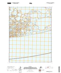
2020 Map of Kuskokwim Bay D-4 SW
USGS Topo · Published 2020About this map
The Bering Sea dominates the southern half of this coastal quadrangle in southwestern Alaska. This 2020 survey illustrates the transition from the marine environment of the Kuskokwim Bay region to a highly fragmented coastal landscape. The northern portion of the map is defined by a dense mosaic of small lakes, ponds, and wetlands, characteristic of the low-lying tundra terrain found near the mouth of the Kuskokwim River. The absence of roads or established settlements on the sheet reflects the preservation of this area's natural state, situated within the remote reaches of the Bethel Census Area where tidal influences and seasonal hydrology dictate the character of the land.
Find a feature on this map
5 named features on this map. Tap any name to fly to it.
Don’t see what you’re looking for? This feature index may not catch every label — zoom into the map to look around manually.
Map Details
Editions of this 2020 Kuskokwim Bay D-4 SW Map
This is the sole edition of this map. No revisions or reprints were ever made.
Other maps of this area

1951 · Kuskokwim Bay
USGS Topo · 1:250,000

1954 · Kuskokwim Bay
USGS Topo · 1:250,000
1954 · Kuskokwim Bay D-4
USGS Topo · 1:63,360
1954 · Kuskokwim Bay D-5
USGS Topo · 1:63,360
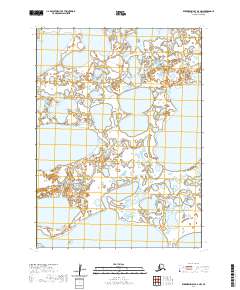
2020 · Kuskokwim Bay D-4 NW
USGS Topo · 1:25,000
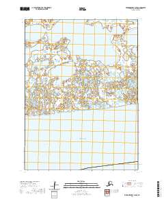
2020 · Kuskokwim Bay D-5 SE
USGS Topo · 1:25,000
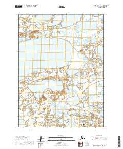
2020 · Kuskokwim Bay D-4 NE
USGS Topo · 1:25,000
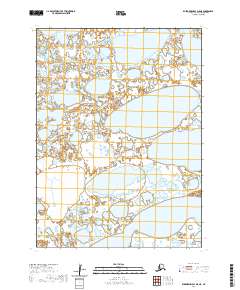
2020 · Kuskokwim Bay D-5 NE
USGS Topo · 1:25,000
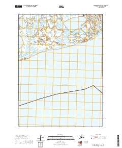
2020 · Kuskokwim Bay D-4 SE
USGS Topo · 1:25,000