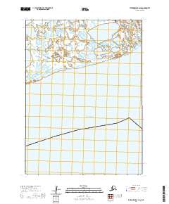
2020 Map of Kuskokwim Bay D-4 SE
USGS Topo · Published 2020About this map
Bering Sea waters meet the expansive coastal wetlands of southwestern Alaska in this 2020 survey of the Bethel Census Area. The landscape is defined by the intricate network of tidal channels and ponds characteristic of the Kuskokwim Bay region. Human activity is concentrated in the northeast corner near the mouth of the Kwigillingok River, where the Kwigillingok Airport and its connecting Airport Rd serve as critical transportation links for this isolated coastal terrain. The map provides a detailed look at the interface between the marine environment and the low-lying tundra, capturing the shifting shoreline of the bay before it opens fully into the sea. Beyond the airport corridor, the map is dominated by the natural drainage patterns of the t4s r81w and t4s r82w townships.
Find a feature on this map
9 named features on this map. Tap any name to fly to it.
Don’t see what you’re looking for? This feature index may not catch every label — zoom into the map to look around manually.
Map Details
Editions of this 2020 Kuskokwim Bay D-4 SE Map
This is the sole edition of this map. No revisions or reprints were ever made.
Other maps of this area

1951 · Kuskokwim Bay
USGS Topo · 1:250,000

1954 · Kuskokwim Bay
USGS Topo · 1:250,000
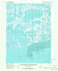
1954 · Kuskokwim Bay D-4
USGS Topo · 1:63,360
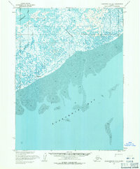
1954 · Kuskokwim Bay D-3
USGS Topo · 1:63,360
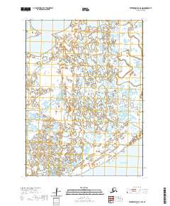
2020 · Kuskokwim Bay D-3 NW
USGS Topo · 1:25,000
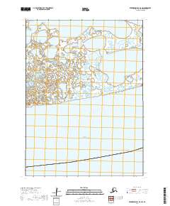
2020 · Kuskokwim Bay D-4 SW
USGS Topo · 1:25,000
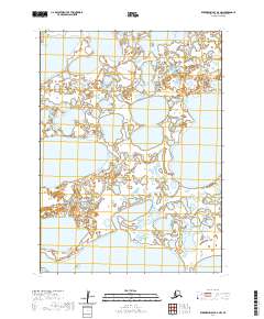
2020 · Kuskokwim Bay D-4 NW
USGS Topo · 1:25,000
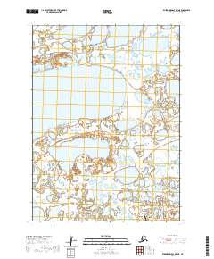
2020 · Kuskokwim Bay D-4 NE
USGS Topo · 1:25,000
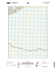
2020 · Kuskokwim Bay D-3 SW
USGS Topo · 1:25,000