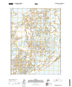
2020 Map of Kuskokwim Bay D-3 NW
USGS Topo · Published 2020About this map
The vast coastal lowlands of the Bering Sea shoreline dominate this 2020 topographic survey, characterized by an intricate network of wetlands and tidal drainage. The landscape is defined by the winding course of the Kongnignanohk River and the Kungillingok River, which snake through a nearly level terrain pockmarked by hundreds of small unnamed tundra ponds and sloughs. This particular section of the Yukon-Kuskokwim Delta highlights the hydrologic complexity of the region, where land and water merge in a shifting mosaic. The prominent Kolekfikpuk Lake sits in the northwest, serving as one of the few large named bodies of water in this expansive maritime environment. This map provides a modern look at the natural drainage patterns of the Bethel Census Area, useful for studying coastal changes and remote Alaskan hydrography.
Find a feature on this map
8 named features on this map. Tap any name to fly to it.
Don’t see what you’re looking for? This feature index may not catch every label — zoom into the map to look around manually.
Map Details
Editions of this 2020 Kuskokwim Bay D-3 NW Map
This is the sole edition of this map. No revisions or reprints were ever made.
Other maps of this area

1951 · Kuskokwim Bay
USGS Topo · 1:250,000

1951 · Baird Inlet
USGS Topo · 1:250,000

1954 · Baird Inlet A-3
USGS Topo · 1:63,360

1954 · Baird Inlet
USGS Topo · 1:250,000

1954 · Kuskokwim Bay
USGS Topo · 1:250,000
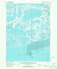
1954 · Kuskokwim Bay D-4
USGS Topo · 1:63,360
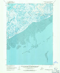
1954 · Kuskokwim Bay D-3
USGS Topo · 1:63,360
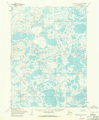
1954 · Baird Inlet A-4
USGS Topo · 1:63,360
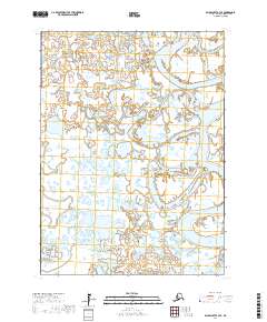
2017 · Baird Inlet A-3 SE
USGS Topo · 1:25,000
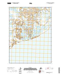
2018 · Kuskokwim Bay D-3 NE
USGS Topo · 1:25,000