
1954 Map of Baird Inlet A-3
USGS Topo · Published 1966About this map
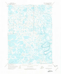
The Ishkowik River snakes through this expansive wetland landscape, defining a complex network of meanders and oxbows in the Yukon-Kuskokwim Delta region. Compiled from mid-century aerial photography, the map reveals a wilderness of countless small unnamed lakes and tundra ponds. Significant watercourses like the Kongnignanohk River and the larger Kolekfikpuk Lake break the intricate pattern of water and land. Along the bends of the larger river systems, the Sand Mud deposits indicate the active depositional environment of the delta during the 1950s. The presence of the Base Line running through the center reflects the early efforts of the Bureau of Land Management to establish legal land divisions across these unsurveyed and unmarked territories of western Alaska.
Find a feature on this map
5 named features on this map. Tap any name to fly to it.
Don’t see what you’re looking for? This feature index may not catch every label — zoom into the map to look around manually.
Map Details
Editions of this 1954 Baird Inlet A-3 Map
2 editions found
Other maps of this area

1951 · Kuskokwim Bay
USGS Topo · 1:250,000

1951 · Baird Inlet
USGS Topo · 1:250,000
1953 · Kuskokwim Bay D-2
USGS Topo · 1:63,360

1954 · Baird Inlet
USGS Topo · 1:250,000

1954 · Kuskokwim Bay
USGS Topo · 1:250,000
1954 · Baird Inlet A-2
USGS Topo · 1:63,360

1954 · Baird Inlet B-3
USGS Topo · 1:63,360
1954 · Kuskokwim Bay D-4
USGS Topo · 1:63,360
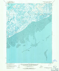
1954 · Kuskokwim Bay D-3
USGS Topo · 1:63,360
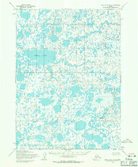
1954 · Baird Inlet B-4
USGS Topo · 1:63,360